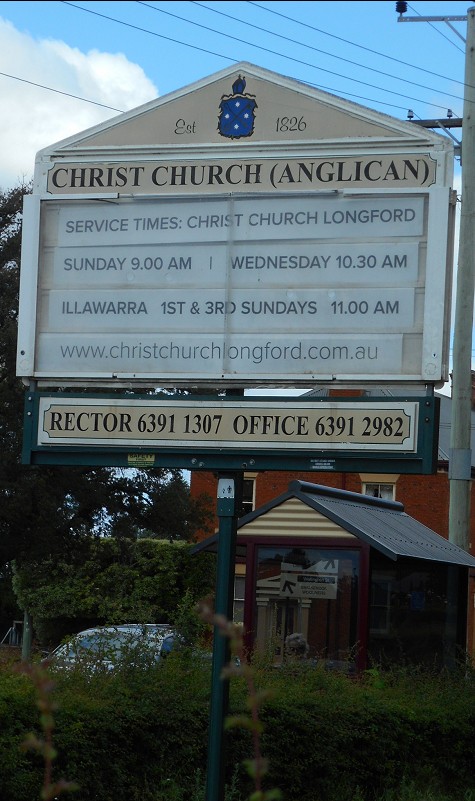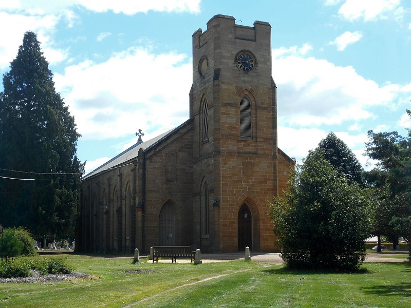
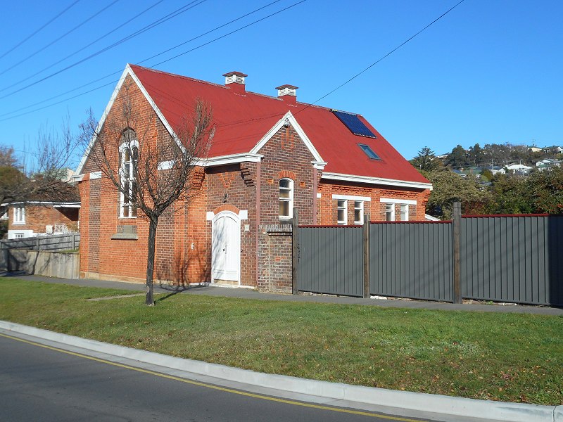
Wellington St, Longford. Google Maps.
Opened 1845, replacing an older brick building.
Graveyard is behind and around the church.
Website
A Short Account of Christ Church, Longford
Window
Organ & photos
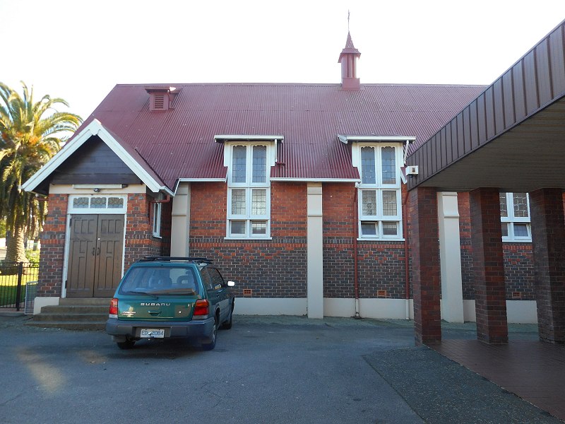
Wellington St, Longford. Google Maps.
Opened 1845, replacing an older brick building.
Graveyard is behind and around the church.
Website
A Short Account of Christ Church, Longford
Window
Organ & photos
Wellington St, Longford, near current church. Google Maps.
Opened c.1831
Demolished c.1844 with the opening of Christ Church.
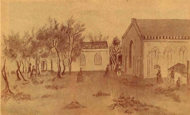
From A Short Account of Christ Church, Longford, the drawing “is made from the south of the [current] Church and shows the great window. The old Church is seen behind and more to the north; it was pulled down as soon as the other was in use, and the bricks were used for the building of the Sunday School, which seems to have been finished by December, 1845.”
Continue reading
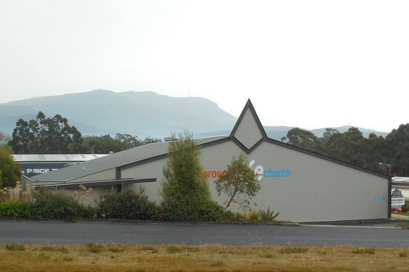
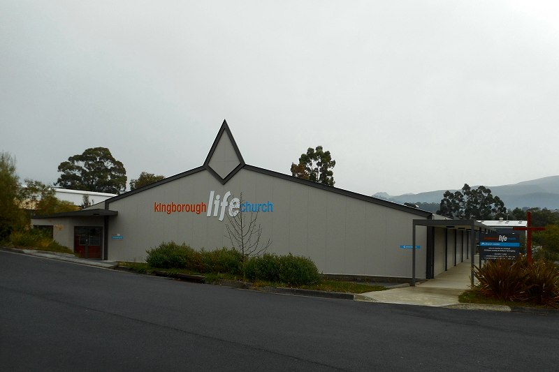
5 Mertonvale Circuit, Kingston. Google Maps.
Timeline from Our history: Kingborough Life Church:
1st August 1993 Blackman’s Bay Christian Community Church, of the Reformed Church, at the Blackman’s Bay Scout Hall
October 1997 left the Reformed Churches of Australia to be independent
1999 became part of the Hobart Christian Life Centre at Bellerive and Kingborough, part of the Australian Christian Churches formerly Assemblies of God
1 September 1999 moved into a Pizza Hut building in Browns Road
June 2000 moved into the Sea Scouts Hall in Kingston.
2003 purchased a disused carpet warehouse in Mertonvale Circuit & renovated it to include a church auditorium and two level Youth and Kids ministry facilities
23 November 2003 celebrated the opening of new building
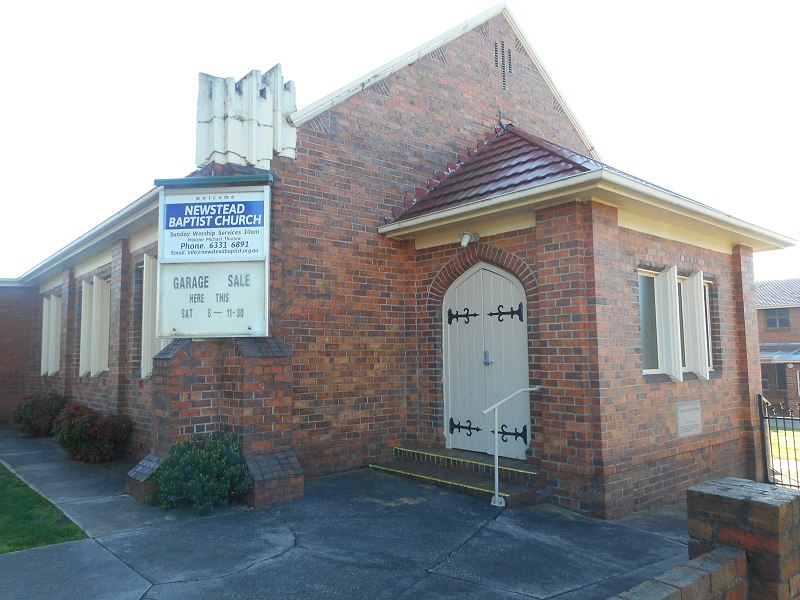
138 Abbott St, Newstead. Google Maps.
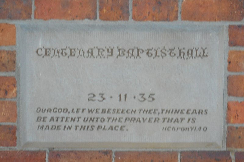
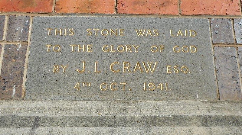
Opened 1941.
From Launceston Historical Society’s “20th Century Churches in Launceston”:
Closed 1988. Was an outpost of Chalmers’ Presbyterian Church. Originally known as Chalmers’ Newstead, in 1965 the church became known at St Stephen’s, Newstead. In 1988 the congregation moved to Chant Street Uniting Church of Australia. Window high up on west wall was originally top sash of a window in Scots National Church, Charles Street.
St Thomas More’s Primary School, 125 Abbott Street, Newstead. Google Maps.
Opened 1937.
Now school hall.
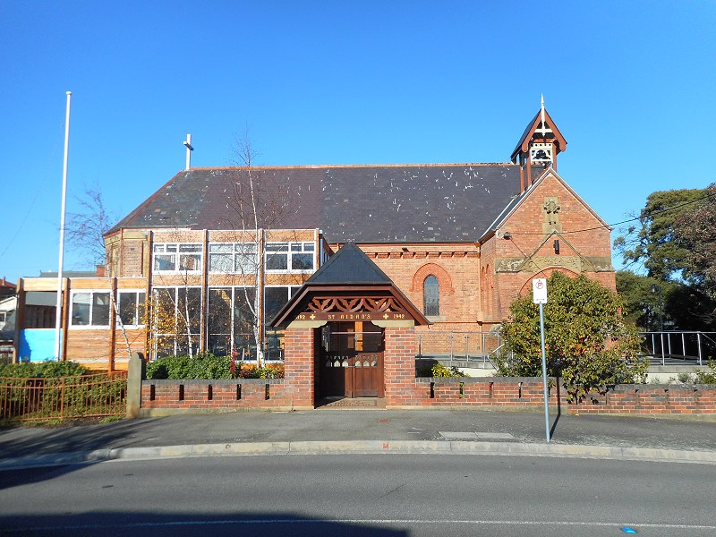
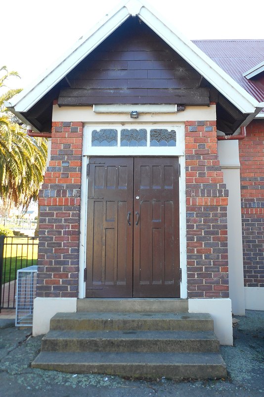
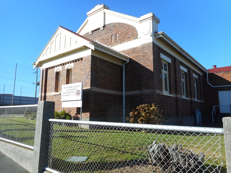
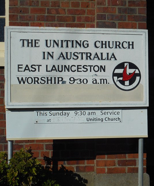
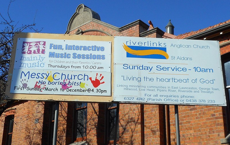
Arthur St, East Launceston (between Berean St & Lanoma St). Google Maps.
Foundation stone laid 1893.
Opened 1894.
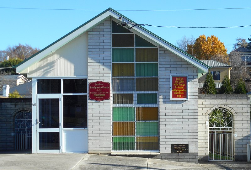
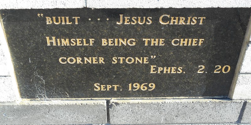
48 Abbott St, East Launceston. Google Maps.
1969 Apostolic Church of Australia. (Now in Forster St, Invermay.)
1986 Southern Presbyterian Church.
(From Launceston Historical Society’s “Launceston Churches of the 20th Century”.)
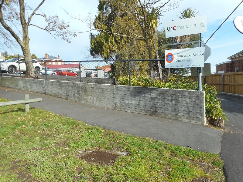
High Street, between York Street and Fawkner St, Launceston. Google Maps.
Opened?
Only known burial 1811 (from LINC Tasmania’s guide to Launceston cemeteries).
Closed ? Possibly 1823, when Cypress St cemetery was in use.
Marked on 1826 map, number 79. (If that link doesn’t work, try here and scroll along to the Sharland map.)