Moorina Cemetery

I thought these headstones had been transcribed on another web site but I can’t find any (someone must have somewhere??). So if you want a transcription and the headstone is visible in one of these photos, ask in the comments. I didn’t take them with the intention of transcribing them but I might be able to work them out 🙂 These are the only photos I have though, so if it’s not below, I can’t help.


Continue reading

St John’s Anglican Church & Cemetery, Franklin

Huon Highway, Franklin. Google Maps approximate location (red-roofed building at end of street that runs past Frank’s Cider Bar & Cafe).

On The Convict Trail (photos & background information)
Organ & interior photos
Closure
At Franklin, desecration before deconsecration
Friends of St Johns’ Facebook page

Dsc_0261

Dsc_0265
Continue reading

Anglican Cemetery, Longford.

Dscn8154

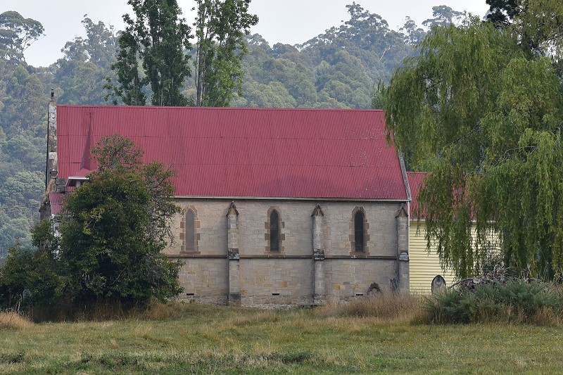
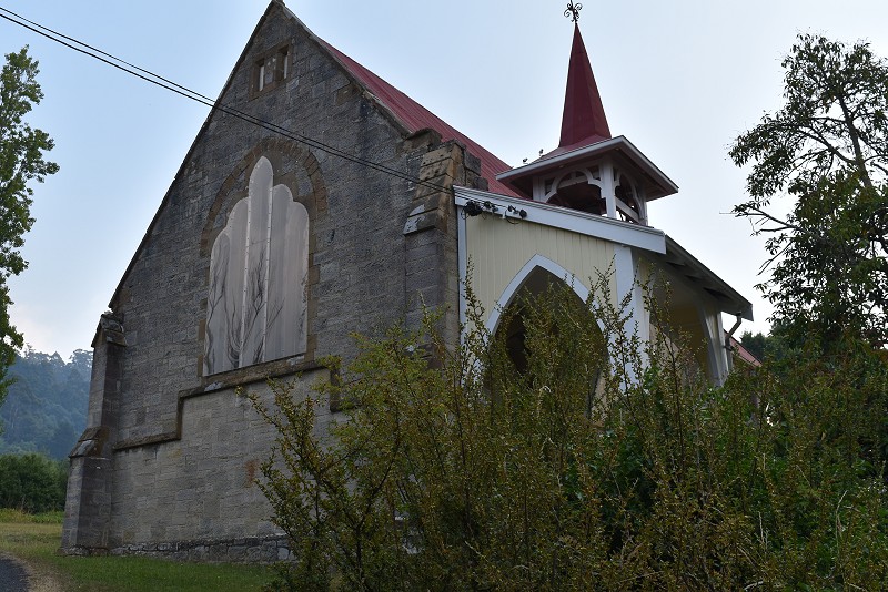
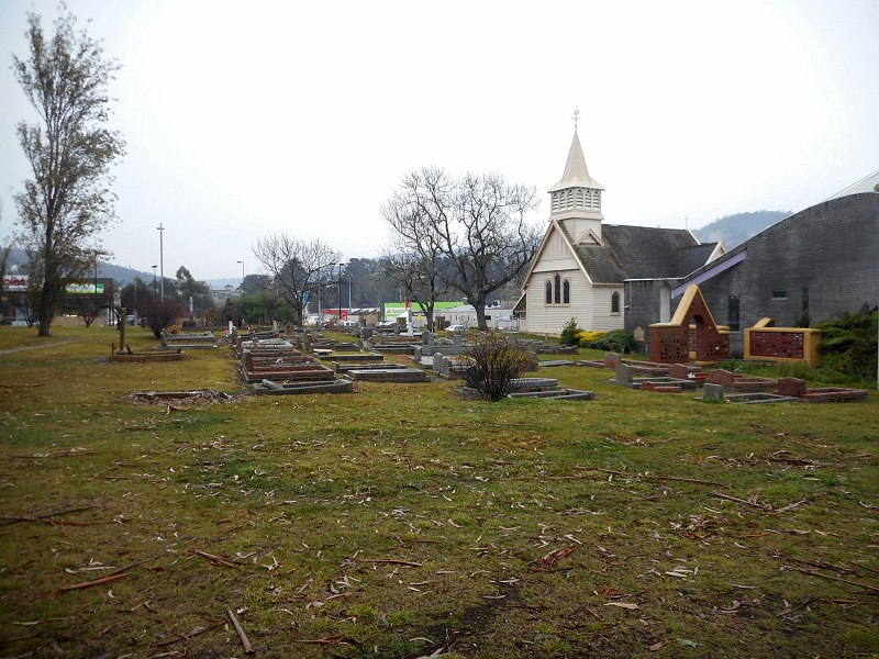
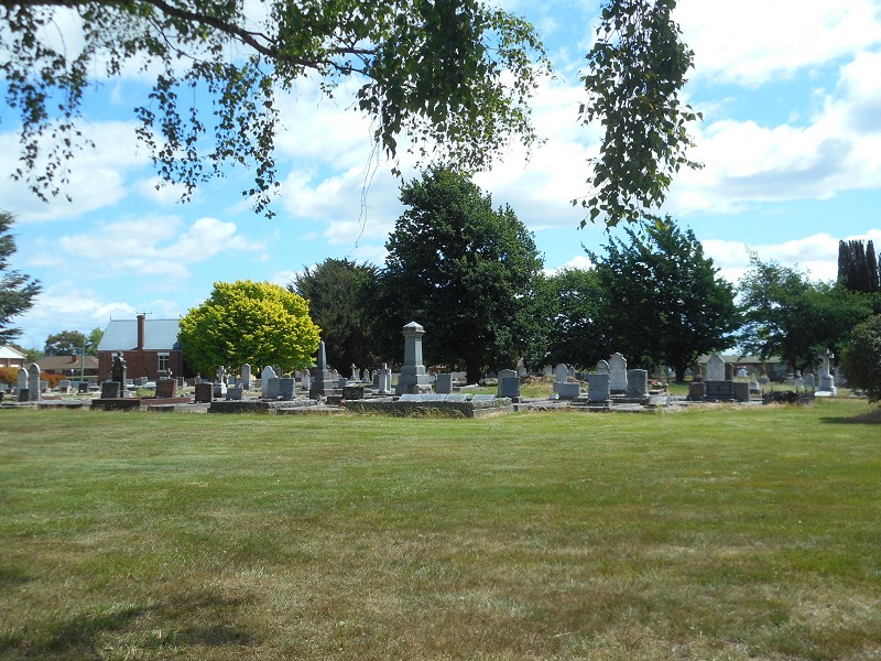
Wellington St, Longford, around Christ Church. Google Maps.
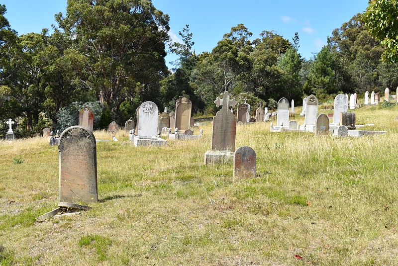
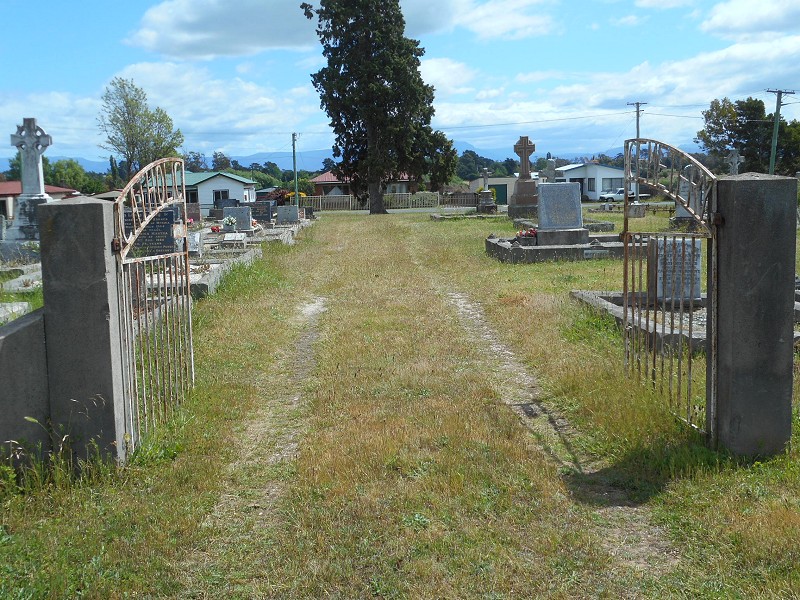
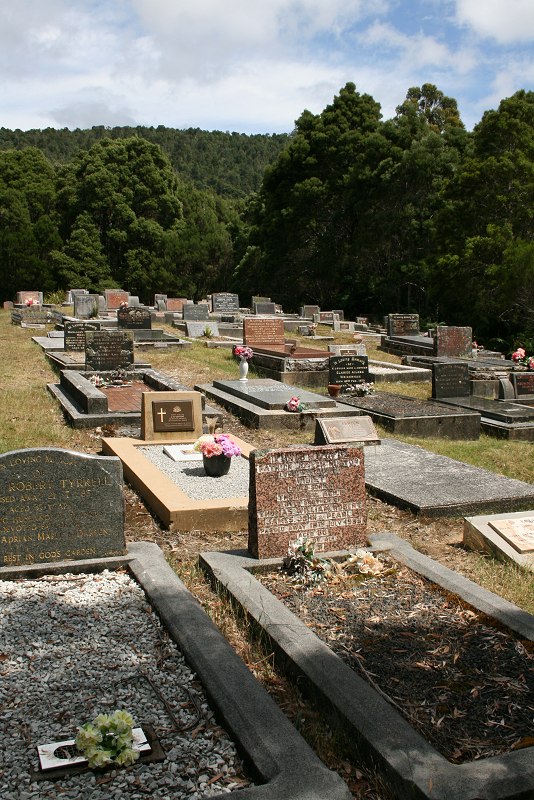
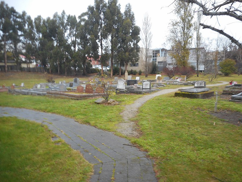
Individual headstones & burial details are available in the Northern Midlands database

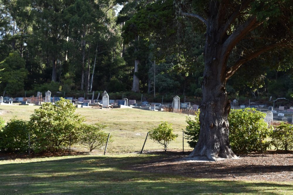
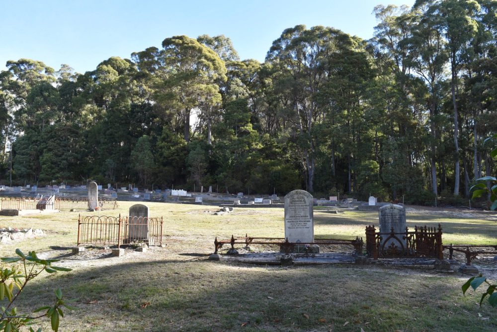
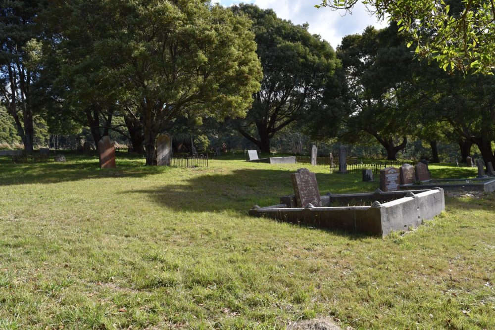
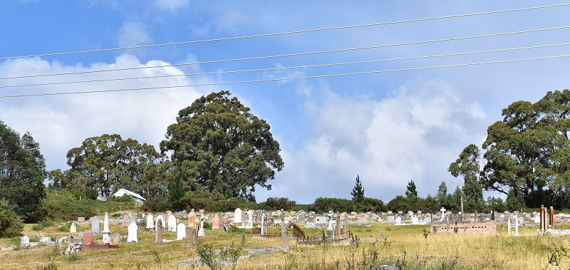
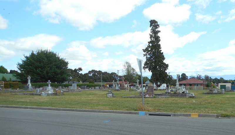
Longford Church Sir,-Now that the authorities of Christ Church, Longford, have the cleaning-up and improving of the church grounds well in hand, they are anxious to get into touch with friends or relatives having interest in the burial ground adjoining the church, with a view to having graves put in order. A number of graves have recently been done up; there are others which it is felt friends would desire to have attended to, and we are enlisting the courtesy of your columns to that end, as in many cases we are unable to trace addresses of relatives. The burial ground contains a large number of graves of historic interest, going back as it does to the beginning of the last century, and we should glad indeed to have the co-operation of all those who desire to see the old memorials preserved and kept in order. The committee for this purpose consists of Mr. G. W. Hudson, Mr. C. P. Ede and the rector, with any of whom communication may be made. A similar effort is being made in connection with the old church burial ground at Perth. W. H. MacFARLANE. Rector of Longford and Perth.
The Examiner, 29 November 1941
Continue reading

(site of) Burial Ground, Launceston

Dscn7391

High Street, between York Street and Fawkner St, Launceston. Google Maps.

Opened?
Only known burial 1811 (from LINC Tasmania’s guide to Launceston cemeteries).
Closed ? Possibly 1823, when Cypress St cemetery was in use.

Marked on 1826 map, number 79. (If that link doesn’t work, try here and scroll along to the Sharland map.)

Dscn7390
Continue reading

Anglican cemetery, Cypress St, Launceston

Dscn6385

Cypress St, Newstead. Google Maps.

1823 consecrated & first known burial
1906 closed to new burials other than relatives 1906
1929 last burial
1953 made available to Broadland House School & converted to sports ground.

Earlier burial ground, High Street.

State of the Episcopal Burial Ground (1848)

Dscn6386
Continue reading

Cemetery, Williamsford-Rosebery

Img_1647

Williamsford Road, west of Rosebery. Google Maps. (I think that’s the right location from the cemetery. It is not the site 1 km from the turn off that some other websites show, that is the remains of an industrial site. The cemetery is a little further along the road.)

Names & transcriptions
Searchable names

Img_1649
Continue reading