Corner of Davey St & Sandy Bay Rd, Hobart. Google Maps.
Established 1804.
Consecrated 1823
Closed 1872.
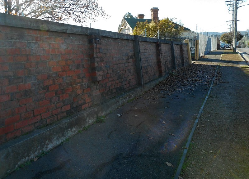
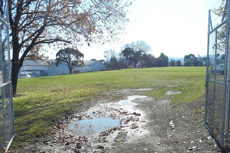
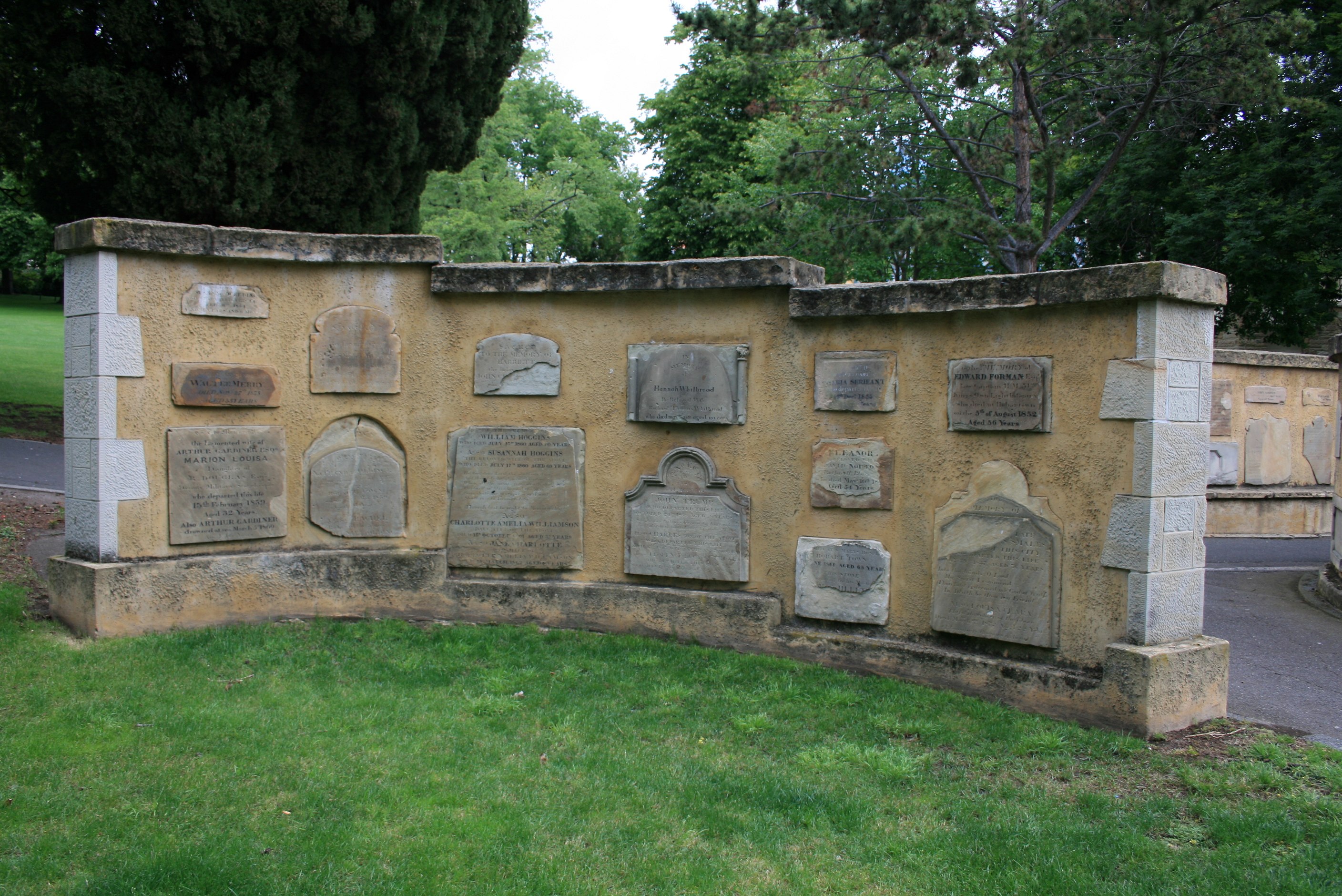
The original burial ground for the settlement of Hobart Town, and for many years the only one. It was closed after the establishment of Cornelian Bay. After sitting unused for fifty years, it was converted to a park in the 1920s. Some of the larger tombs remain in situ but all the other headstones were removed. The surviving stones have been built into memorial walls at the south-eastern end of the park.
No transcriptions, as they are available elsewhere. Although I did some years ago.
Transcriptions & photos of stones in park & memorial wall
Transcriptions & photos of stones moved to Anglesea Barracks
[Links not working for below]
The LINC has two albums with photos taken prior to and during removal of headstones.
Album 1 is mostly individual stones (see here for more information).
Album 2 is a mixture, including photos taken during removal of headstones (pp. 4,5, 8, 13 & 14).
Photos of headstones in situ.
Ann (1839), Martha (1839), Joseph (died 1861) Hone
Francis George, Mary Ann, Susan & Francis Canes, Samuel Rhodes & Ann Pealey
Some more information & photos.
Drawing, 1847
Two stereoscopic photographs, c. 1870: 1 2
Photograph of Davey St, c.1890
Photograph
Drawing, undated
Painting, 1923
Photograph of drawing, not dated.
Continue reading →