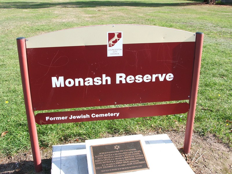
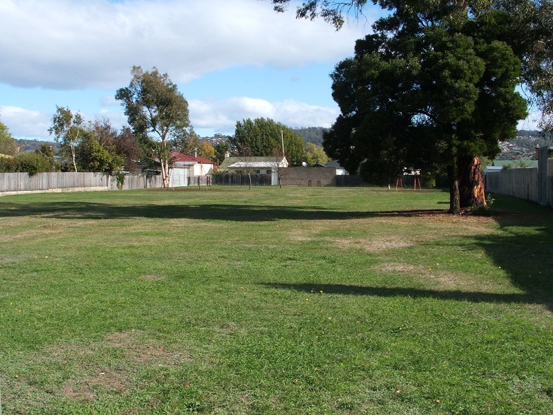
Church Photos
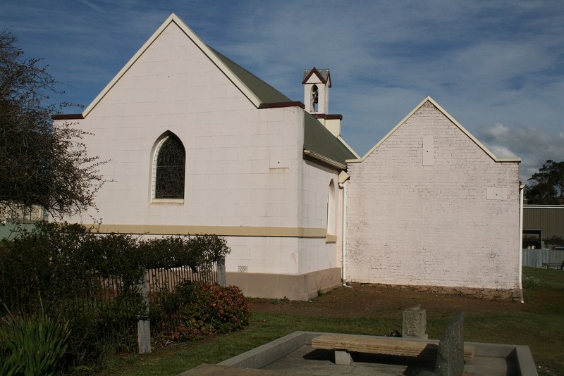
I am working through an eleven year backlog of photos (currently up to 2009), trying to add some every night.
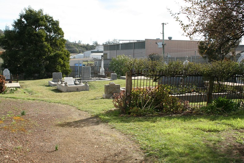
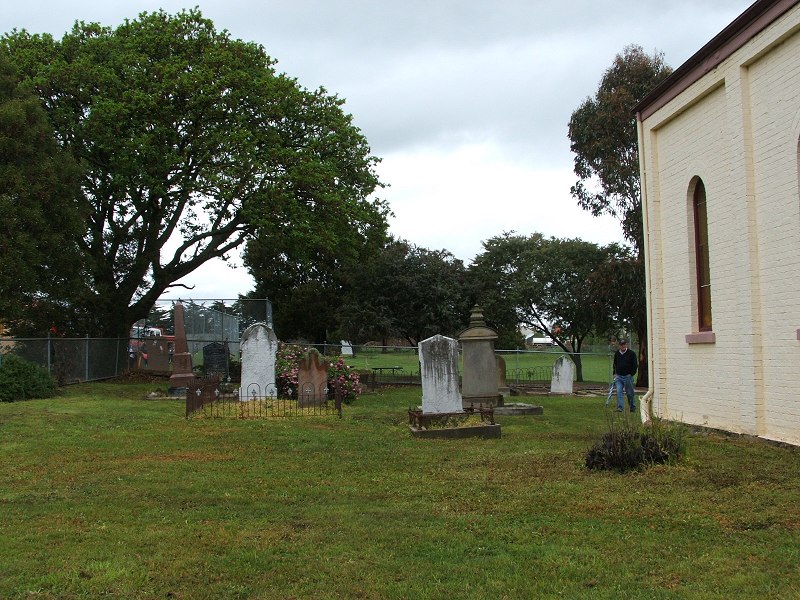
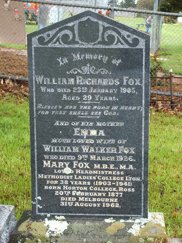
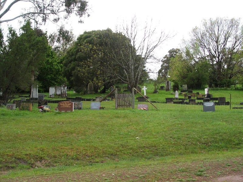
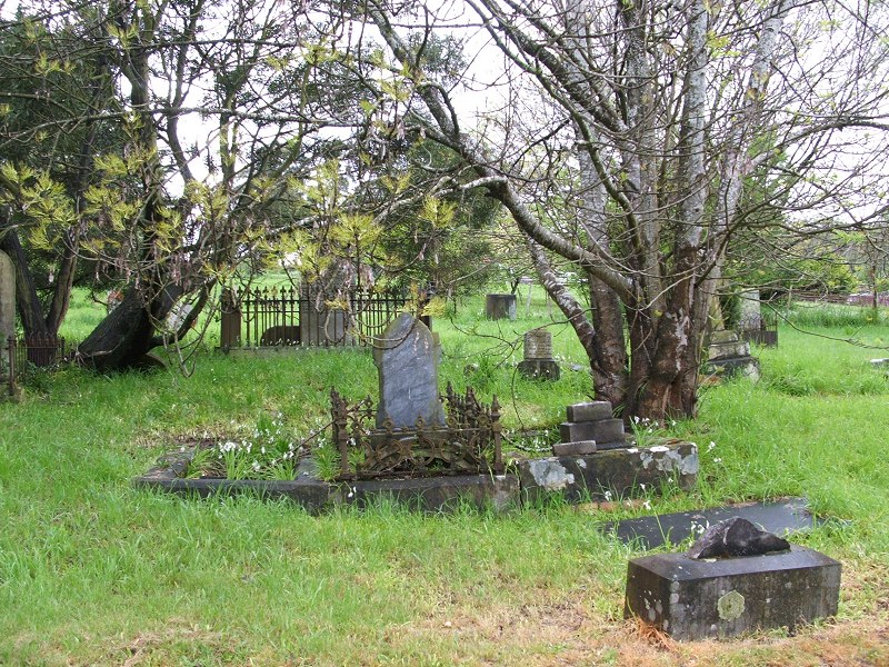
Cemetery Photos other sites that do that better page . If there only a small number of headstones, I'll try to take photos of all of them but otherwise it's just whatever catches my attention. I was including transcriptions in the posts, but I found it was taking too much time (hours for each post) and I'd rather put that time into putting up church photos.
(Although I'm happy to include transcription that might be useful or of interest to someone else. I just don't want to spend hours doing it for no purpose. So if you're interested in what a particular stone or two says, ask and I'll see if I can read it on the larger original. Although note the comment about comments above. The spam filters have sharp teeth.)
