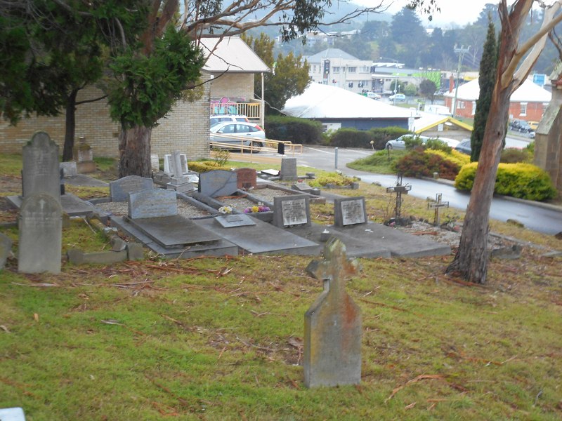
Beside St Aloysius Catholic Church, 96 Beach Road, Kingston, Google Maps.
I can’t find any transcriptions or names indexes online. (Help?) So I shall do them later. In the meantime, if you see any below you’d like transcribed, drop me a line.
Beside St Aloysius Catholic Church, 96 Beach Road, Kingston, Google Maps.
I can’t find any transcriptions or names indexes online. (Help?) So I shall do them later. In the meantime, if you see any below you’d like transcribed, drop me a line.
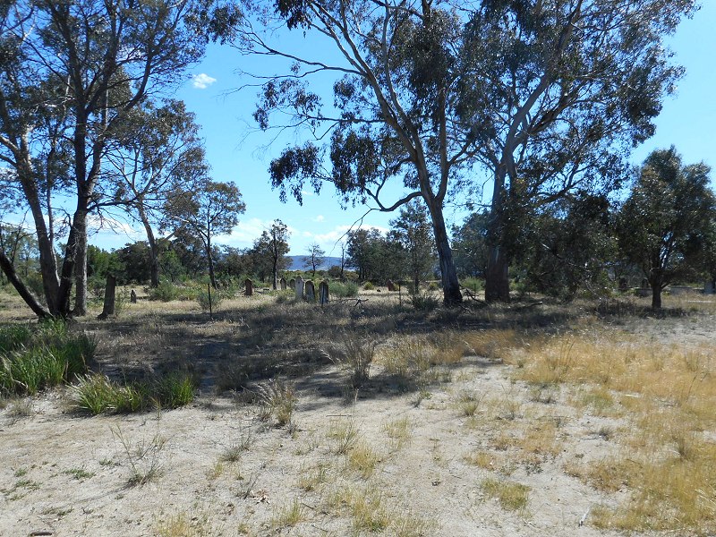
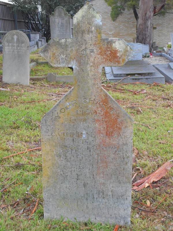
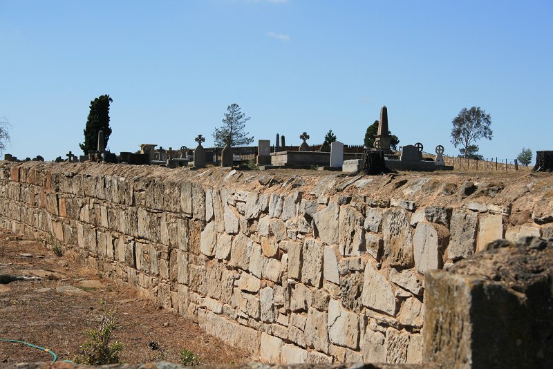
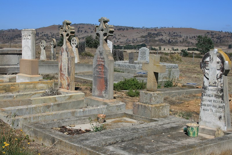
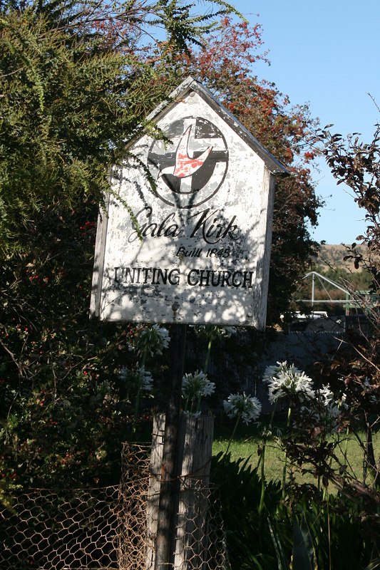
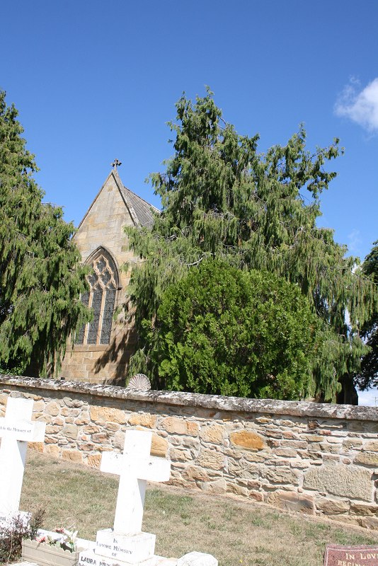
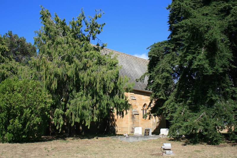
Church St, Campbell Town, adjoining showground. Google Maps.
Just photos below.
Name index & individual photos on Gravesites of Tasmania

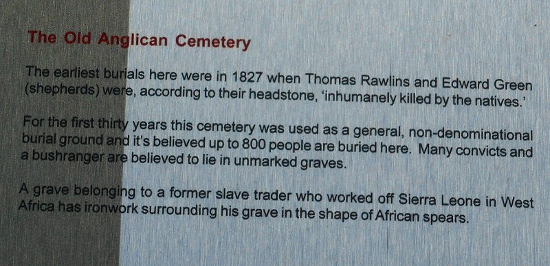
Corner of Davey St & Sandy Bay Rd, Hobart. Google Maps.
Established 1804.
Consecrated 1823
Closed 1872.
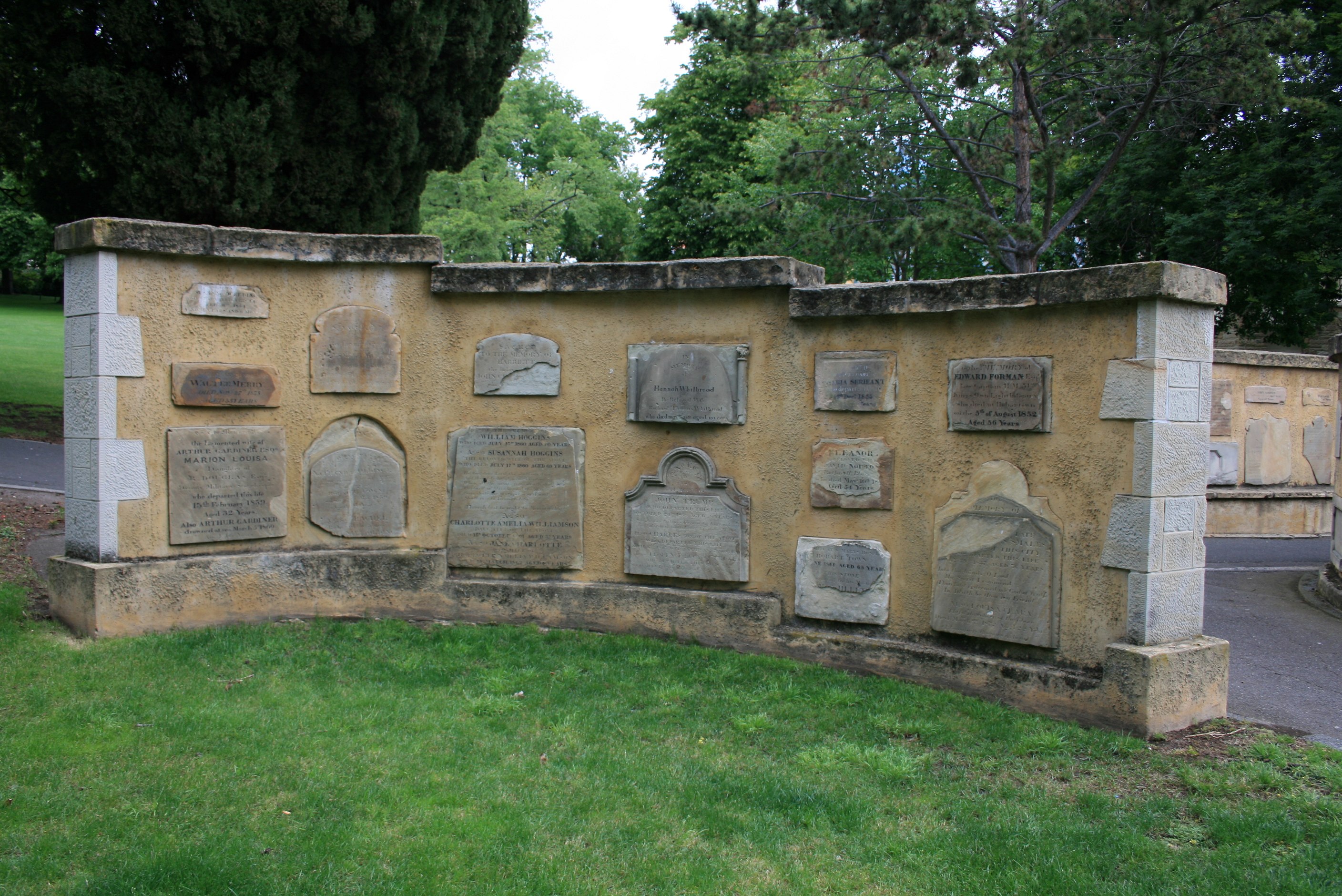
The original burial ground for the settlement of Hobart Town, and for many years the only one. It was closed after the establishment of Cornelian Bay. After sitting unused for fifty years, it was converted to a park in the 1920s. Some of the larger tombs remain in situ but all the other headstones were removed. The surviving stones have been built into memorial walls at the south-eastern end of the park.
No transcriptions, as they are available elsewhere. Although I did some years ago.
Transcriptions & photos of stones in park & memorial wall
Transcriptions & photos of stones moved to Anglesea Barracks
[Links not working for below]
The LINC has two albums with photos taken prior to and during removal of headstones.
Album 1 is mostly individual stones (see here for more information).
Album 2 is a mixture, including photos taken during removal of headstones (pp. 4,5, 8, 13 & 14).
Photos of headstones in situ.
Ann (1839), Martha (1839), Joseph (died 1861) Hone
Francis George, Mary Ann, Susan & Francis Canes, Samuel Rhodes & Ann Pealey
Some more information & photos.
Drawing, 1847
Two stereoscopic photographs, c. 1870: 1 2
Photograph of Davey St, c.1890
Photograph
Drawing, undated
Painting, 1923
Photograph of drawing, not dated.
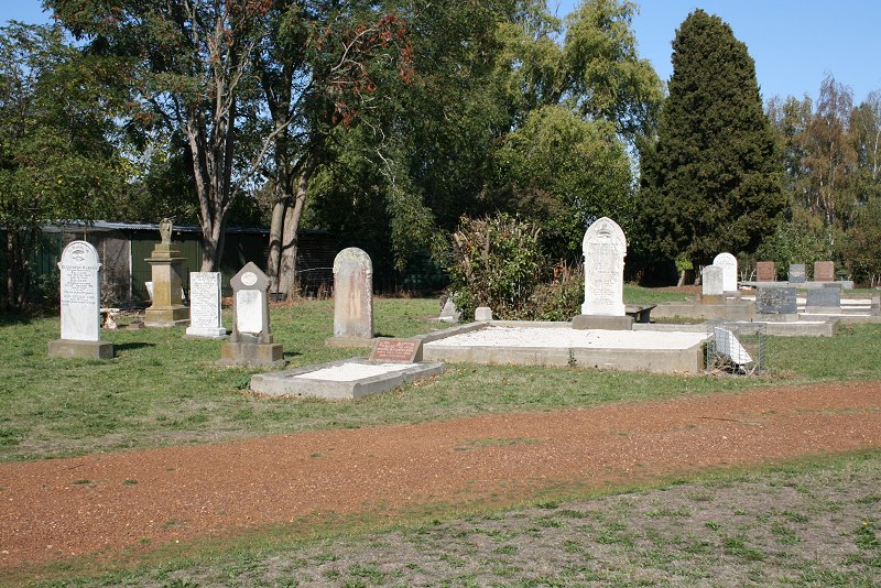
Graveyard is around the church of St Andrew’s. Photos are shown roughly in a clockwise order, starting on the southern side (left of photo), then at the back, then the other side. Some are out of order.
Photos & transcriptions are available on the The Gardens’ site and Northern Midland Council database (in progress).
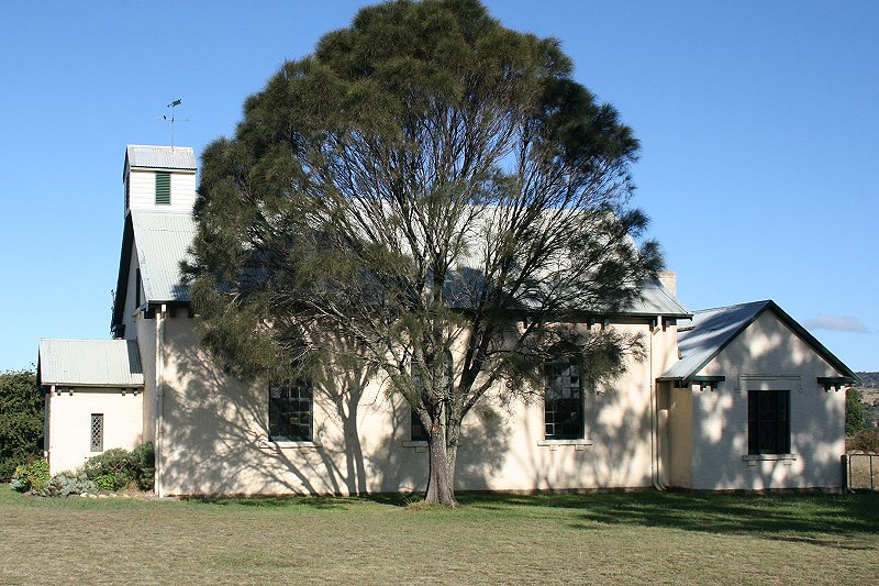
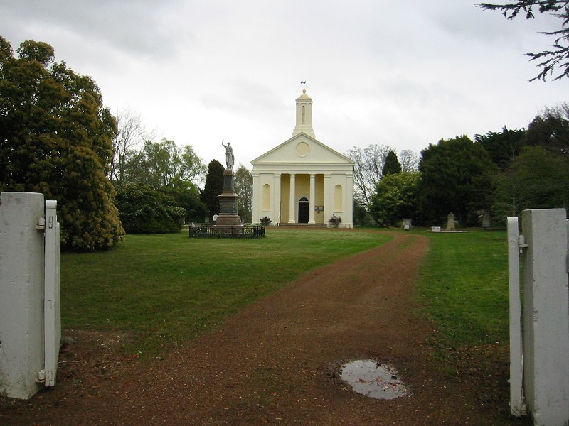
St Johns Ave, New Town. Google Maps. The church is flanked by the buildings of the King/Queen’s Orphan school which were opened two years earlier.
Foundation stone laid 1834.
Opened 1835, to provide a second Anglican church for the residents of Hobart Town and surrounds.
Consecrated 1838.
Some background (and better photos)
Organ (and some nice internal photos)
Friends of the Orphan Schools: background, interesting photos (inc. inside of tower) and associated buildings.
Memorial plaques/stones
Other images:
Plans (1 or 2) and cross-section
Drawing, 1831
Paiting, 1840s
Interior, stereograph c. 1865
Interior
More
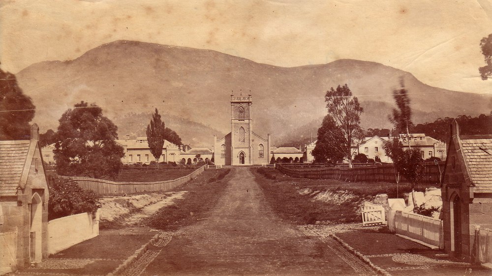
St Johns Avenue leading up to church, with orphan school on either side. (c. 1880, from my collection).
Continue reading
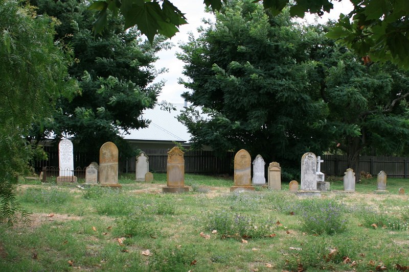
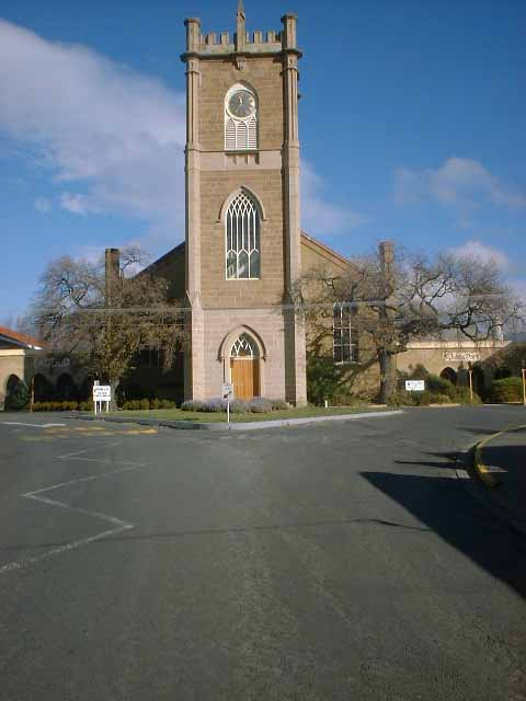
Corner of Fitzroy & Parsonage Sts, behind St George’s Anglican Church. Google Maps
There is a second Anglican cemetery in Henry St. I have no photos but there are photos & transcriptions on the above website.
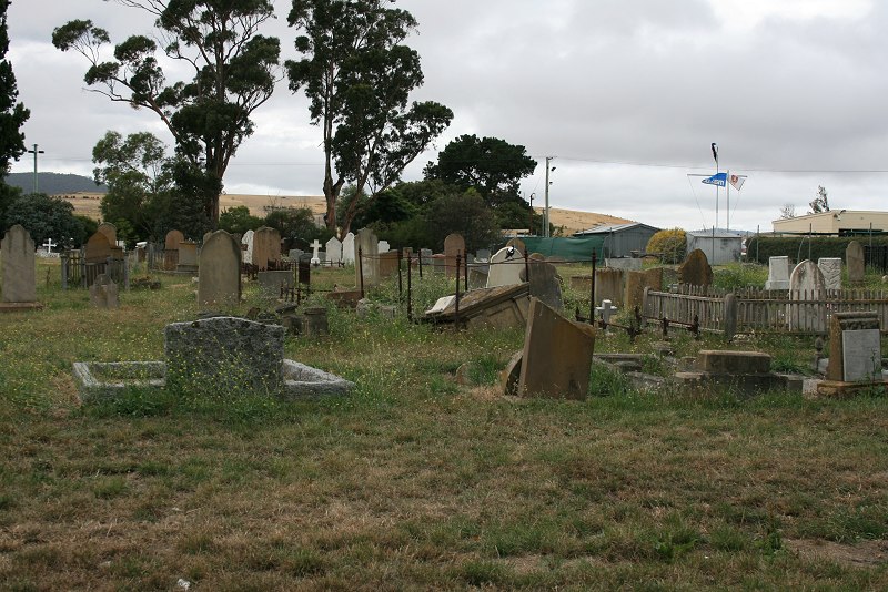

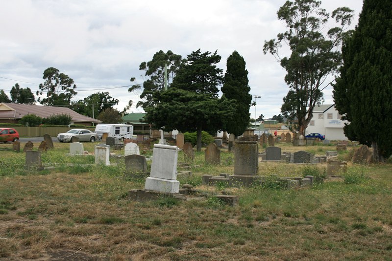
Torrens St, Richmond. Google Maps.
Church opened 1845. Replaced by a newer building in Bridge St in 1875.
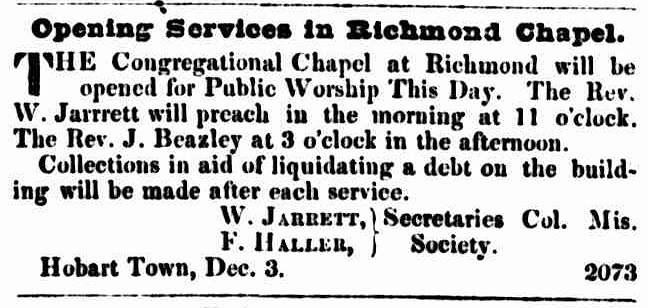
The Courier, 3 December 1845