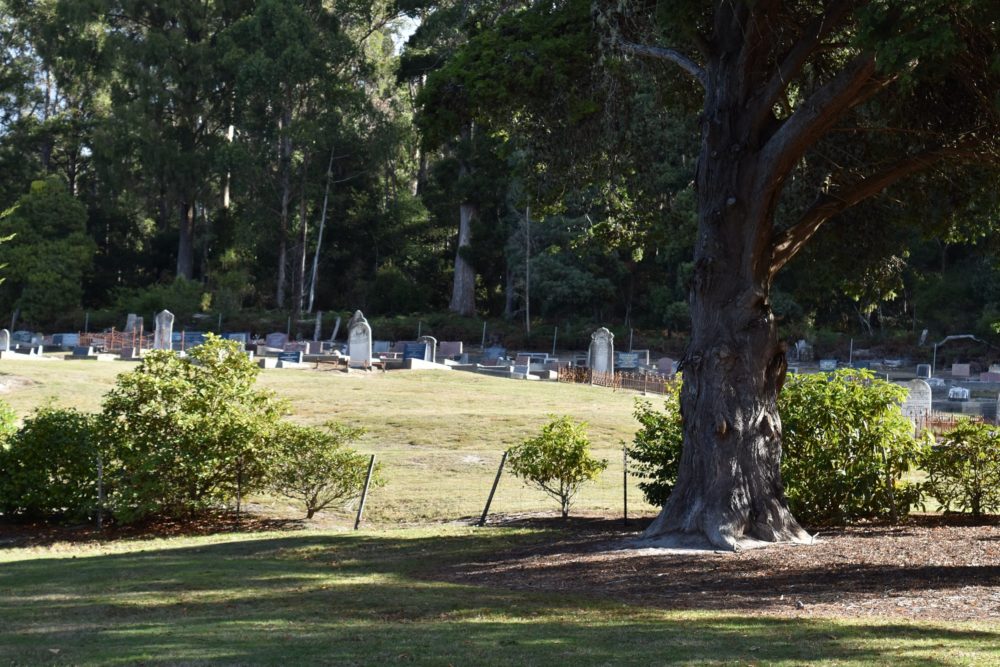
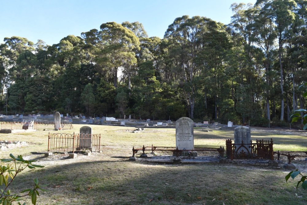
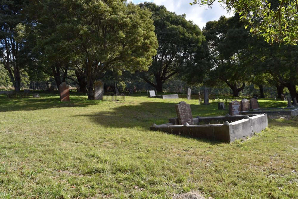
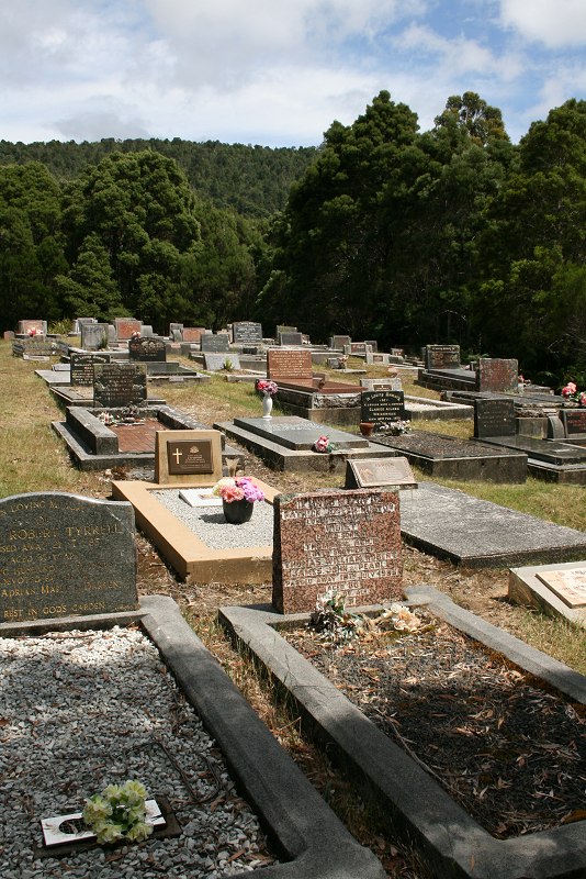
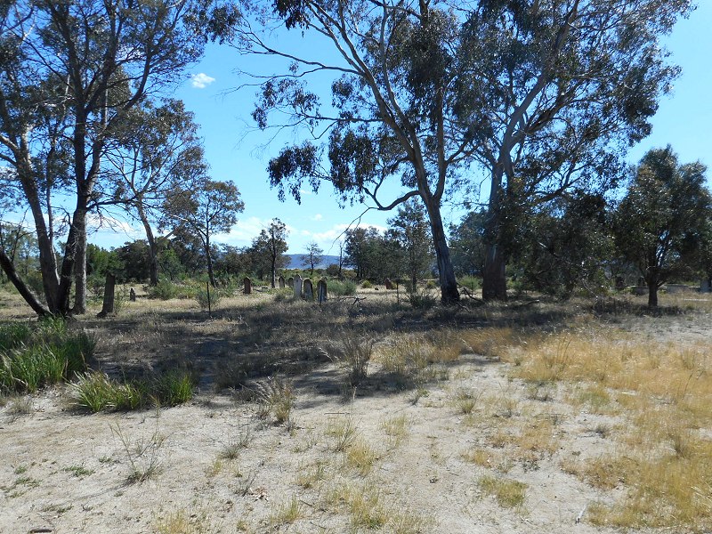
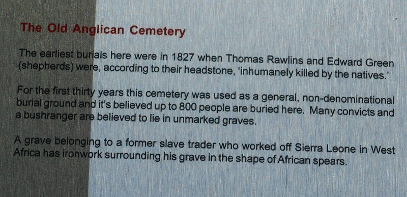
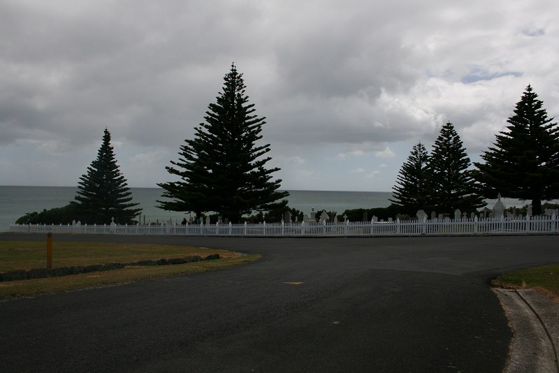
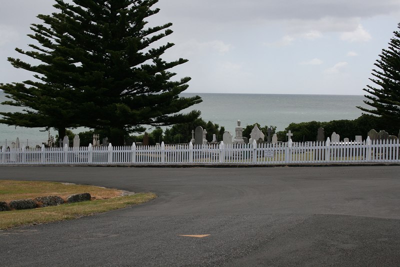
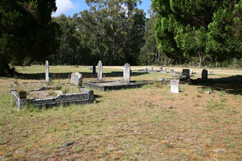
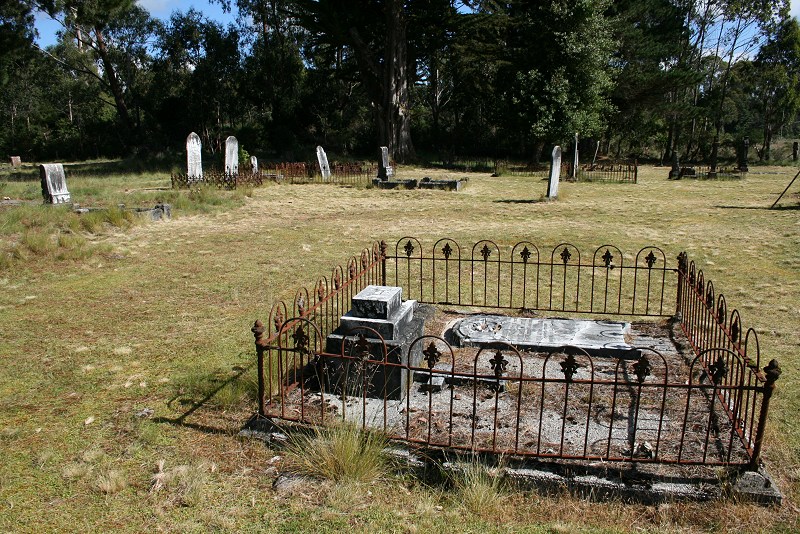
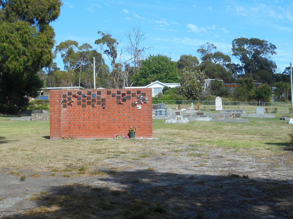
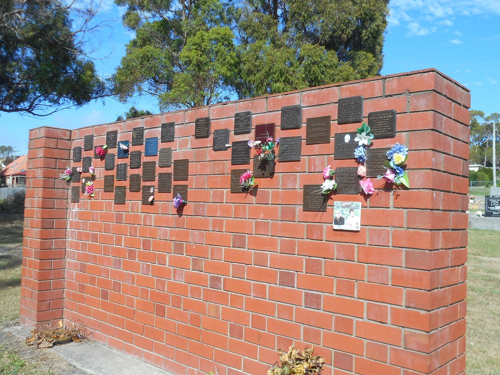
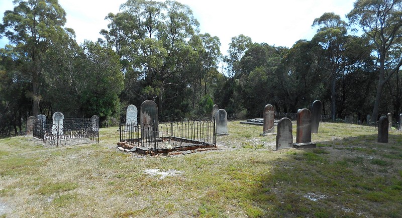
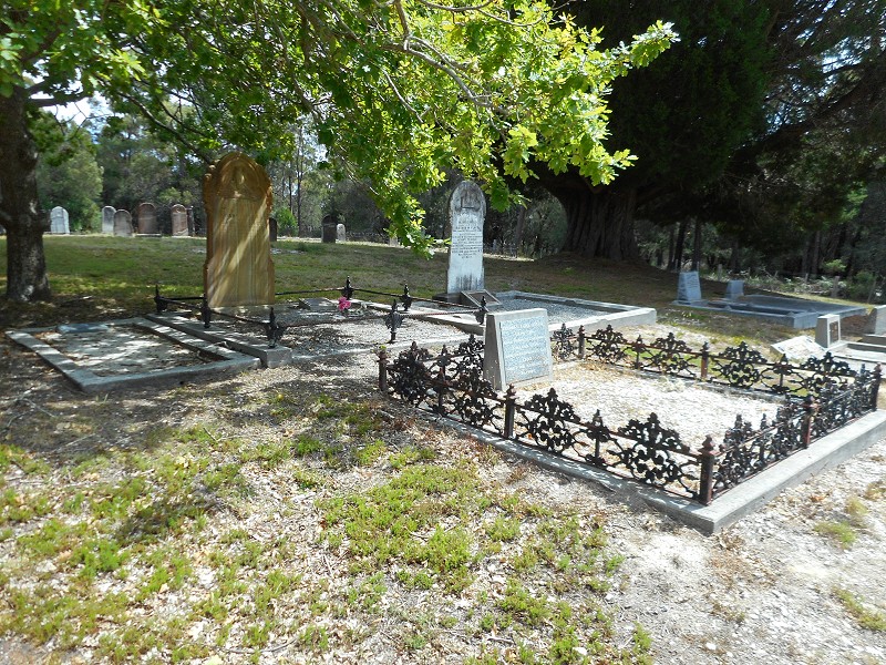
I thought these headstones had been transcribed on another web site but I can’t find any (someone must have somewhere??). So if you want a transcription and the headstone is visible in one of these photos, ask in the comments. I didn’t take them with the intention of transcribing them but I might be able to work them out 🙂 These are the only photos I have though, so if it’s not below, I can’t help.
Category Archives: General/Mixed
Weldborough Cemetery
(site of) Burial Ground, Launceston
High Street, between York Street and Fawkner St, Launceston. Google Maps.
Opened?
Only known burial 1811 (from LINC Tasmania’s guide to Launceston cemeteries).
Closed ? Possibly 1823, when Cypress St cemetery was in use.
Marked on 1826 map, number 79. (If that link doesn’t work, try here and scroll along to the Sharland map.)
Cemetery, Williamsford-Rosebery
Williamsford Road, west of Rosebery. Google Maps. (I think that’s the right location from the cemetery. It is not the site 1 km from the turn off that some other websites show, that is the remains of an industrial site. The cemetery is a little further along the road.)
Anglican Cemetery, Campbell Town
Church St, Campbell Town, adjoining showground. Google Maps.
Just photos below.
Name index & individual photos on Gravesites of Tasmania
Stanley Cemetery
Charles St General Cemetery, Launceston
Opened 1841
Photo as a cemetery
Charles St gate
Closed 1925
Location (as Saint Ockerby Grounds)
Record of location of the graves (Not very useful)
Epitaphs and tombstone inscriptions removed from Charles Street cemetery (Hand written transcriptions)
Cemetery register (list of names, organised by first letter of surname and then date)
Treasurer’s register (Organised by date, gives details of payments made)
(If the links above don’t work, try this link or search the site for NG3089.)