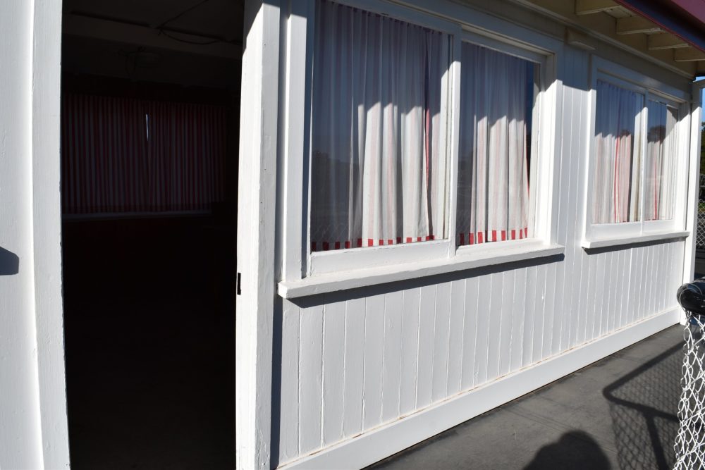
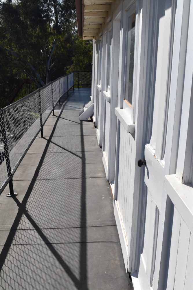
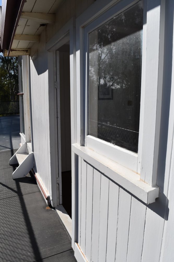
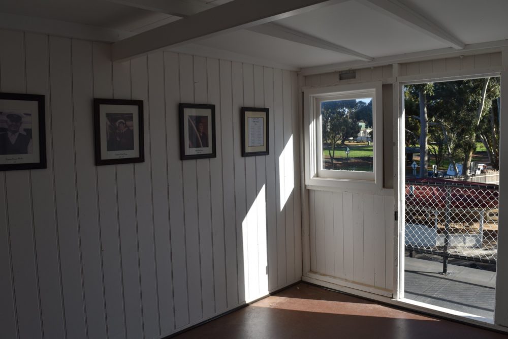
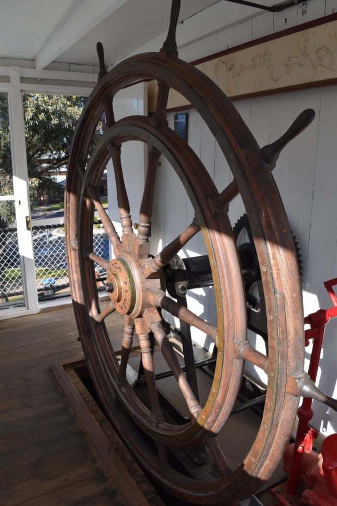
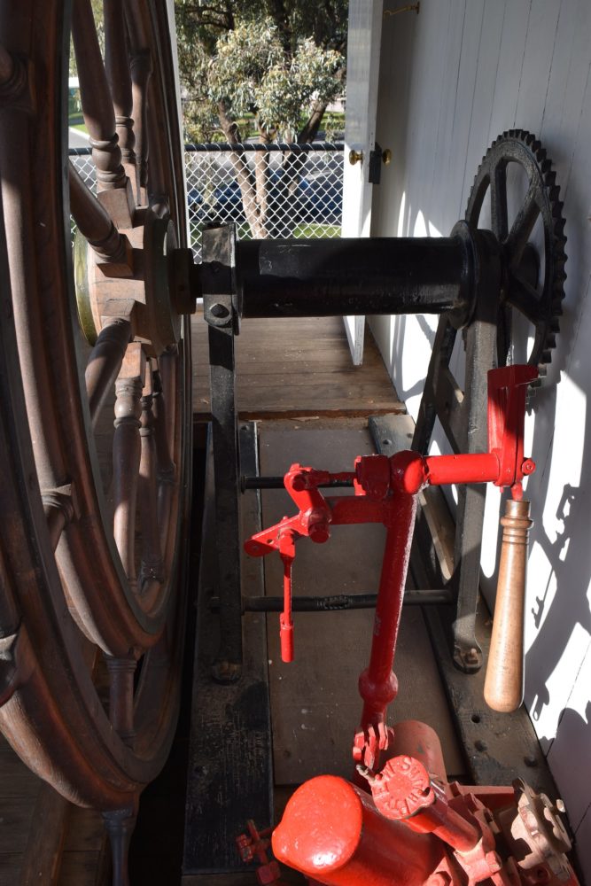
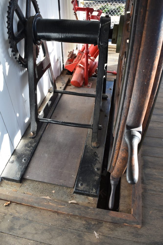
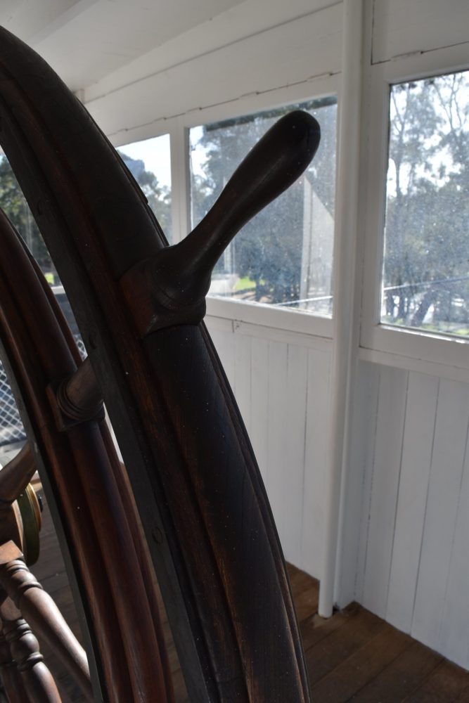
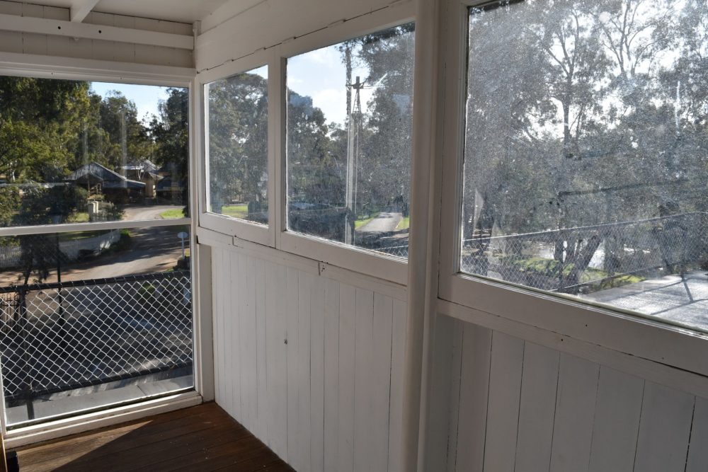
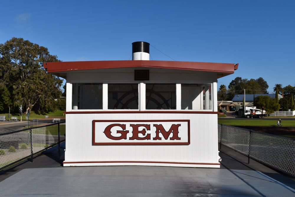
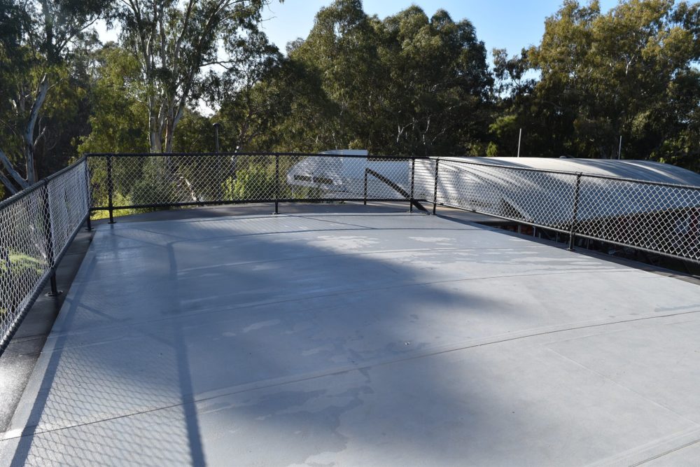
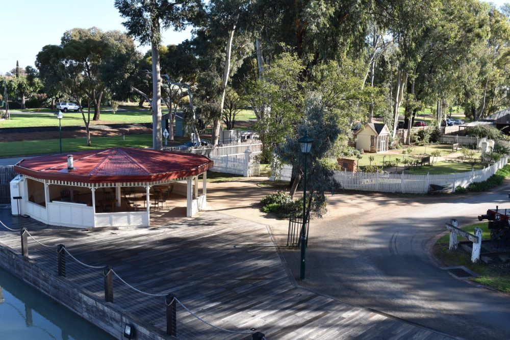
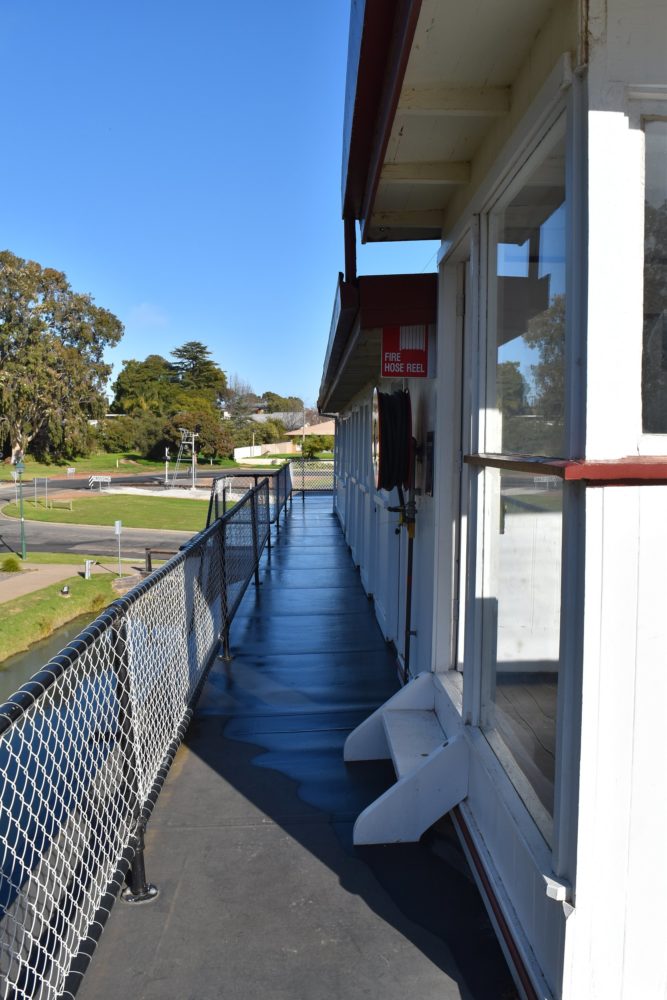
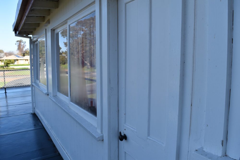
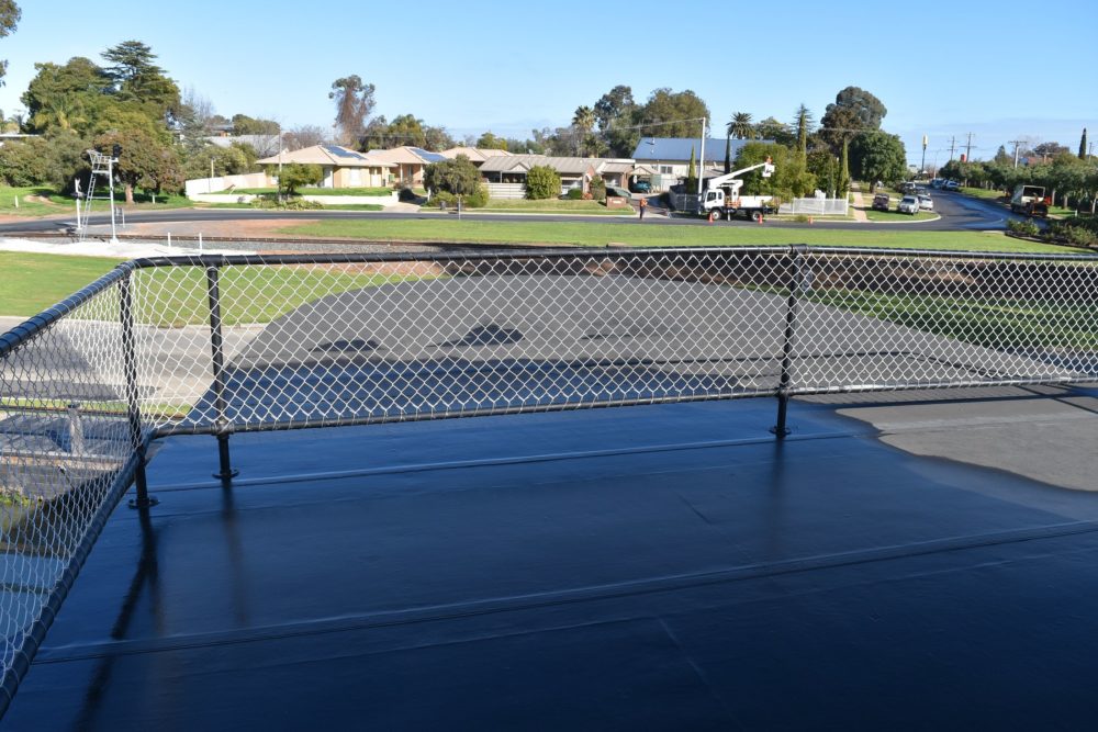
Upper deck on P.S. Gem, at the Swan River Pioneer Settlement.
THE WHEELHOUSE
The nature of river travel on the ever changing Murray River required that the Captain have good visibility in order to guide his vessel through the pitfalls of snags, changing river levels and sand bars. From his perch high up in the wheelhouse the captain could pilot his boat secure in the knowledge that he had the best possible view--even if the foredeck was piled high with cargo. The broad decks fore and aft of the wheelhouse and accommodation on this level were also favourite spots for passengers. Overhead frames could be fitted with canvas shades on hot sunny days.
MURRAY RIVER CHART
The original Murray River charts were individually sketched by each captain based on his knowledge and experience in navigating the river. He would use India ink on cotton or linen materials and would map out features and topography for the appropriate length of the river. The map would then be rolled up like a scroll and unrolled as the boat progressed along different parts of the river. Survey bench marks, islands, snags and buildings would be added to the map by the Captain in order to assist in navigation. This section of a map shows part of the River Murray between Swan Hill and Boundary Bend; approximately 85 river miles (140 kilometres) downriver.


