Berwick has walls and ramparts and gates and bits of castle. It’s all a bit complicated, but I’ll see if I can make sense of it.
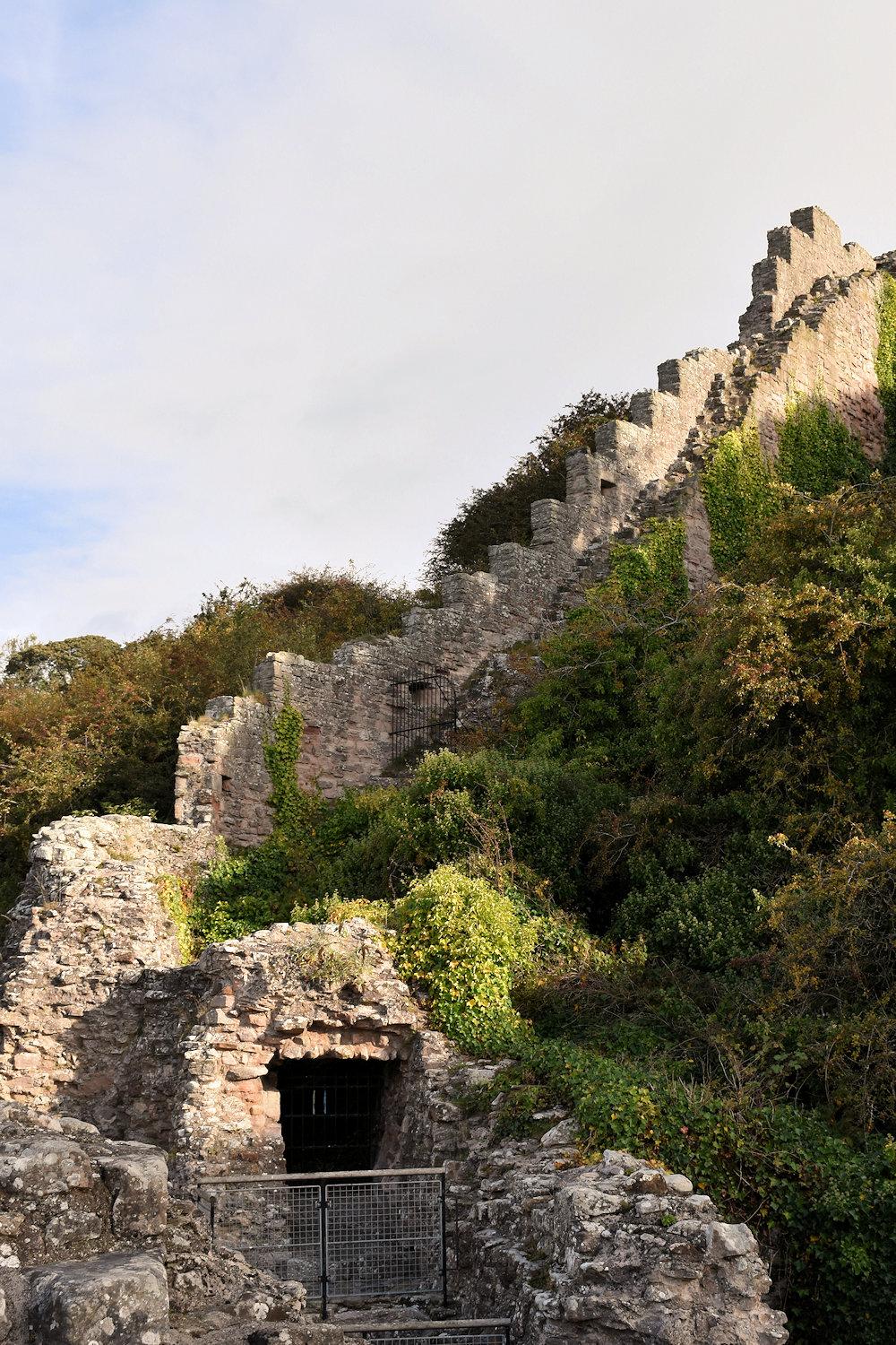
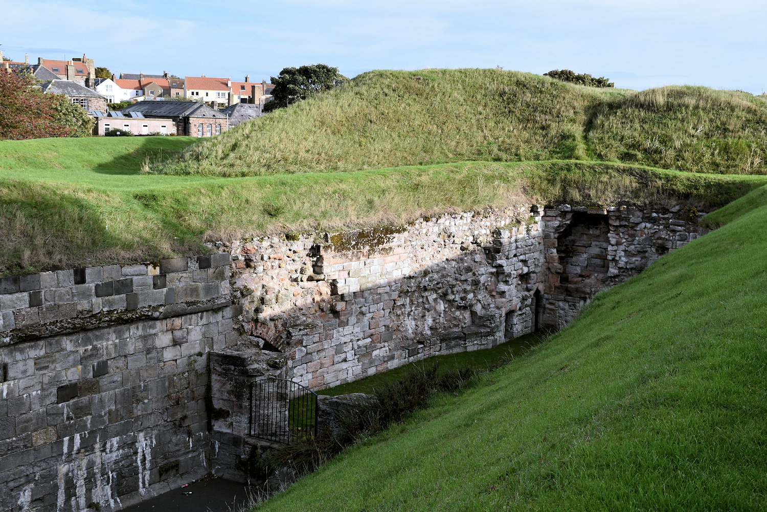
The White Wall, with steps that originally ran up to the castle. (I think the front bit is a later addition for atillery.) Most of the castle remains were removed c.1850 to build the train station.

The Berwick museum in the barracks building has a useful model of the castle. That wall running down into the river is the White Wall. It provided a safe place for ships. The other remaining parts are the wall to the left of the White Wall and a tower over to the right.

That’s the remaining wall. The castle was probably built in the early 12th century, but David I of Scotland.
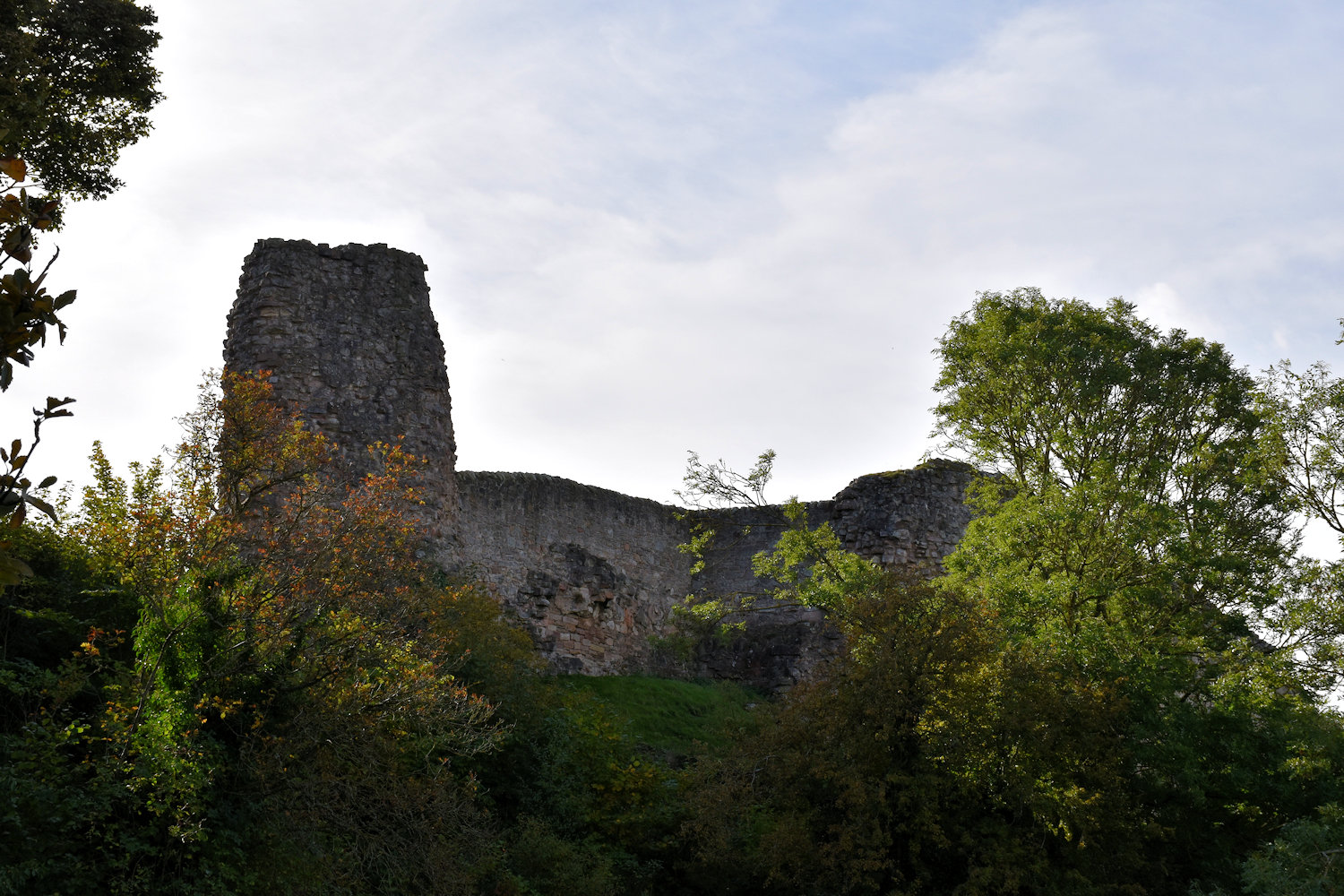
The end of the castle wall. The museum also has a panel talking about the medieval development of the towner. It says, in part:
After the deaths of Alexander III and Margaret, the Maid of Norway, there was no obvious heir to the Scottish throne. In 1292, this problem (known as the Great Cause) was settled when Edward I decided that John Baliol had the best claim. As part of the deal, Baliol would swear fealty to Edward every year. However, in 1295, he refused to do so. In March 1296, Berwick took the full brunt of Edward’s anger.
The number killed is uncertain: one record puts it at more than 8000; another, 25700. Today we would call Edward’s act of barbarity “ethnic cleansing”. His aim was nothing short of killing all Scots and turning Berwick into an English town. Experienced in fortifying vanquished towns in France and Wales, within days Edward began an earthwork defence encircling the town from the castle to the pier. It was later surmounted by stone walls with towers which were heightened after repossession by the Scots in 1318 and eventually stood at least as high as the Elizabethan walls we see today.
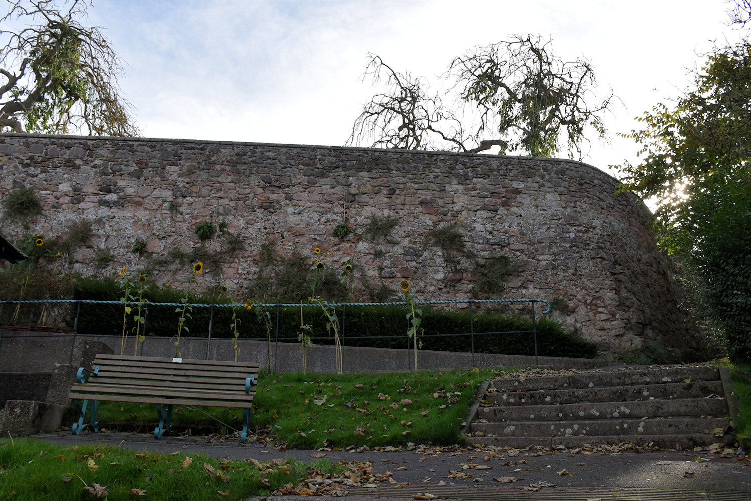
Now, I’m assuming that Edward’s walls are the medieval walls. There’s a part of one the park near the train station.
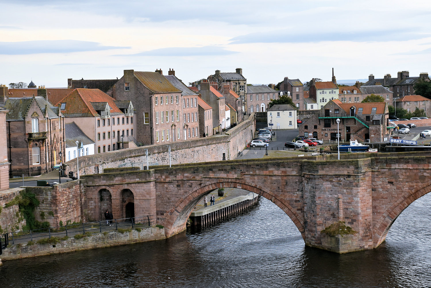
The walls around the town are apparently 18th century but follow the path of the earlier medieval town walls.
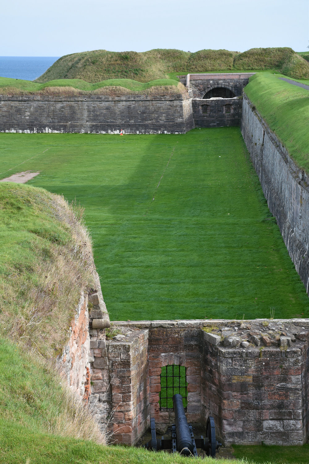
And then there are the Elizabethan ramparts, construction of which started in 1558. This is one end, near the river.
They don’t surround the town, even as it was at the time, but cuts the town in two. Scots Gate linked the two parts of the town, or separated. It was closed at night.
The ramparts are a substantail bank running around two “sides” of the town, there are fives bastions along its length which were fitted with cannons.

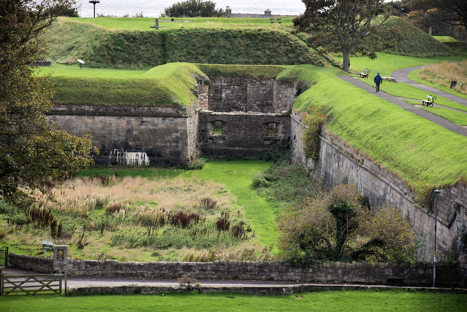
The rampart wall, on the right, is popular for dog walking.
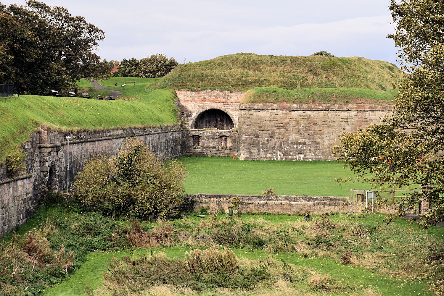
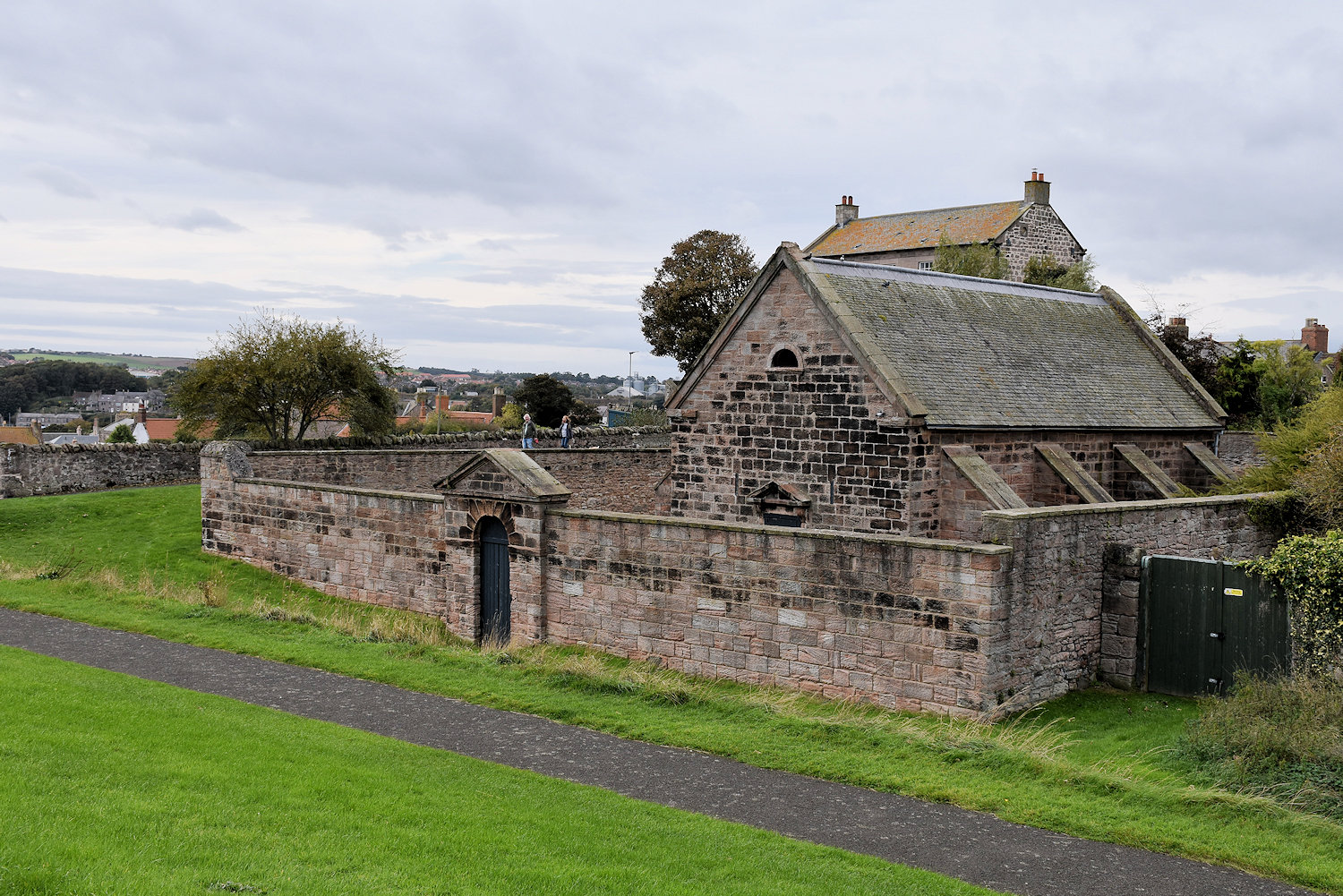
The power magazine built c.1750
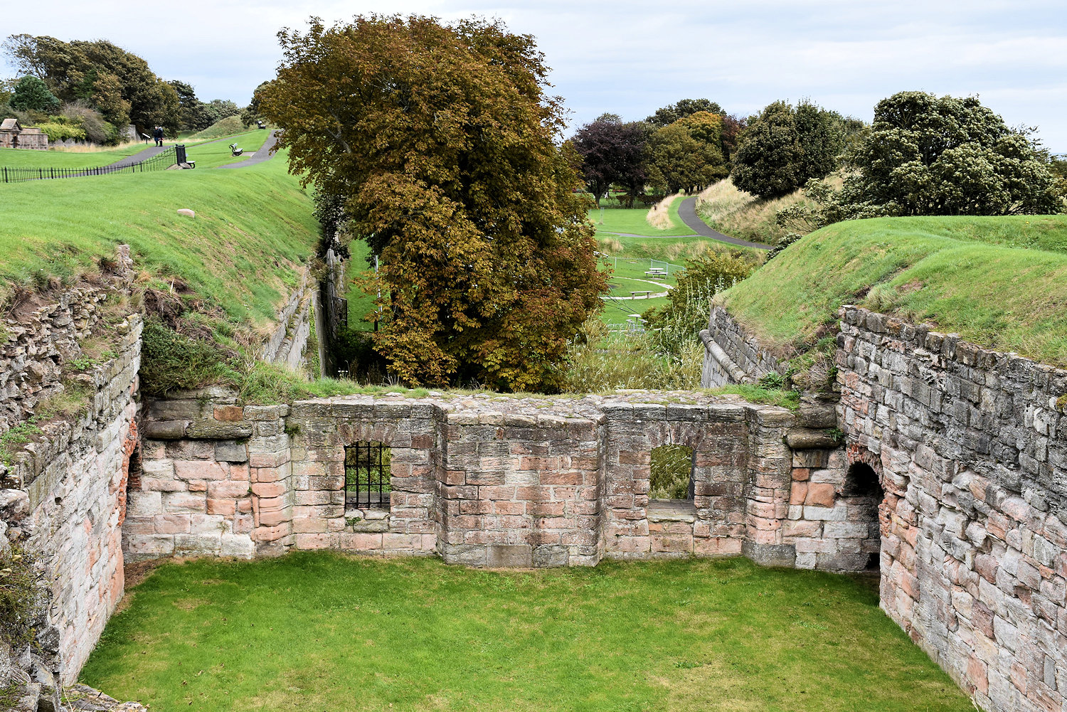

The Kings Mount is the end point. Due to the usual problems that beset government projects, only two sides of the ramparts were completed.
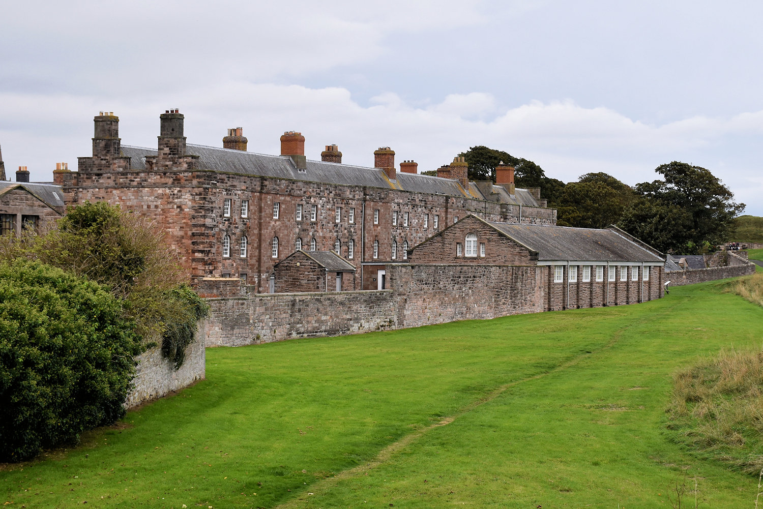
The barracks (18th century) are alongside the ramparts.
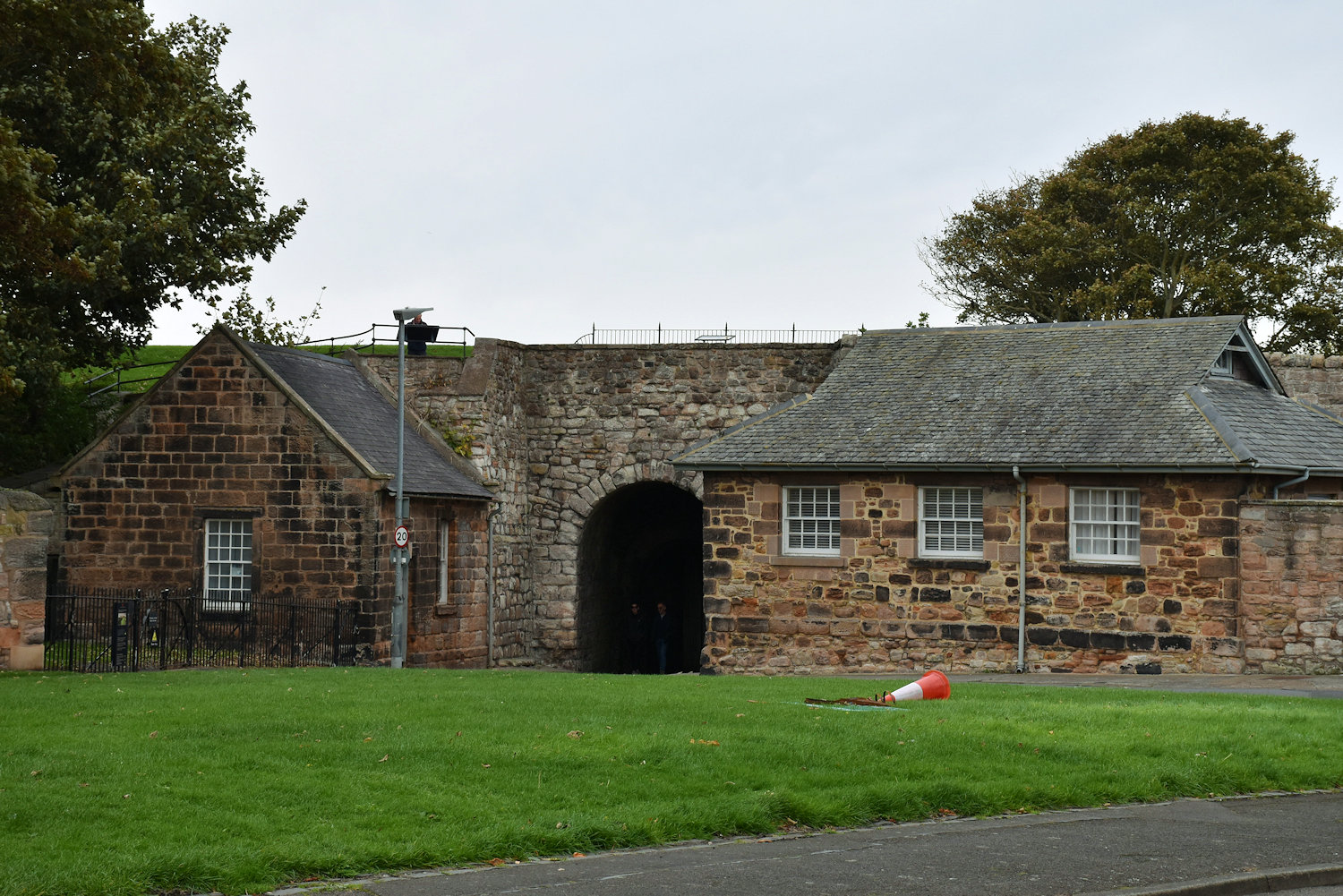
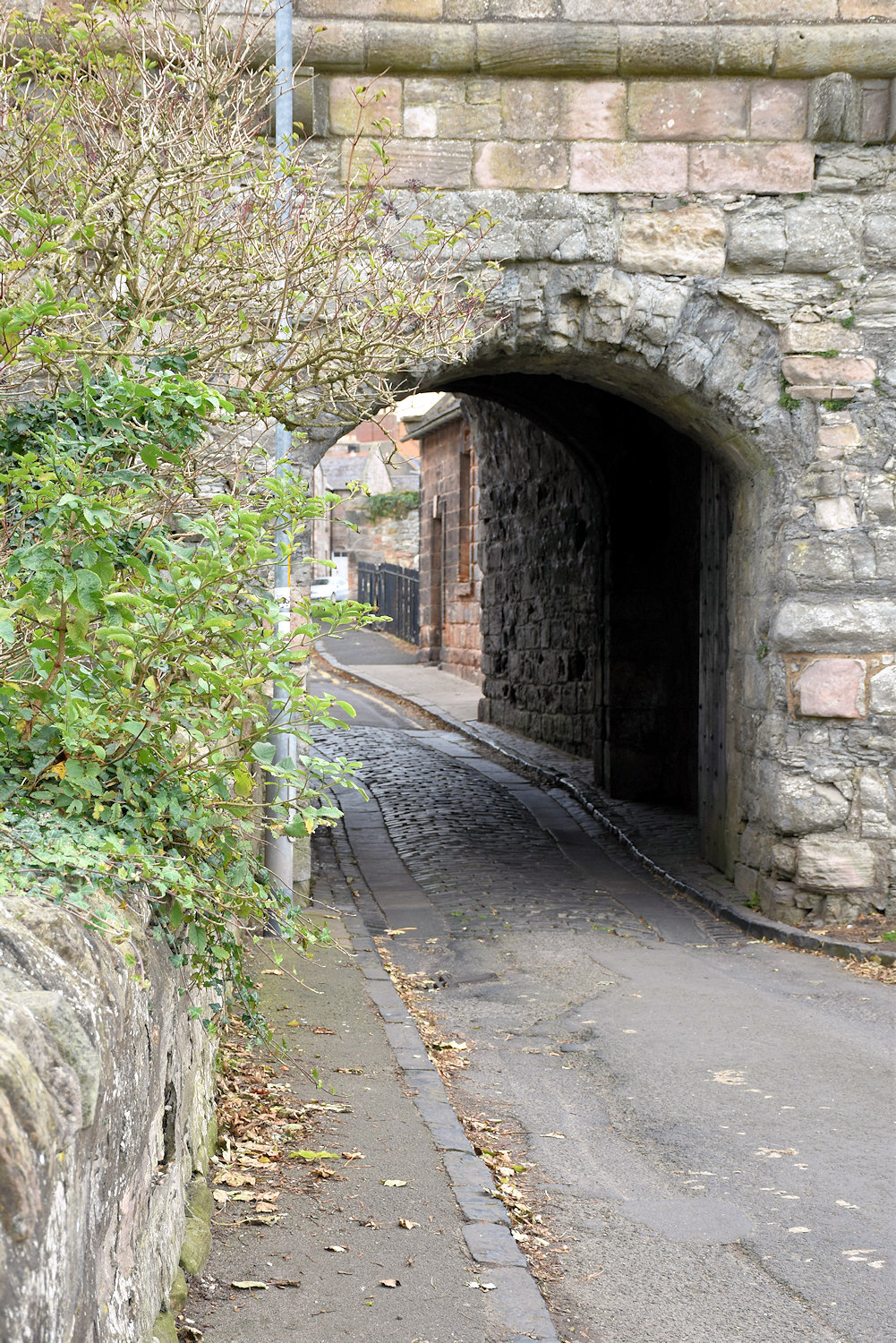
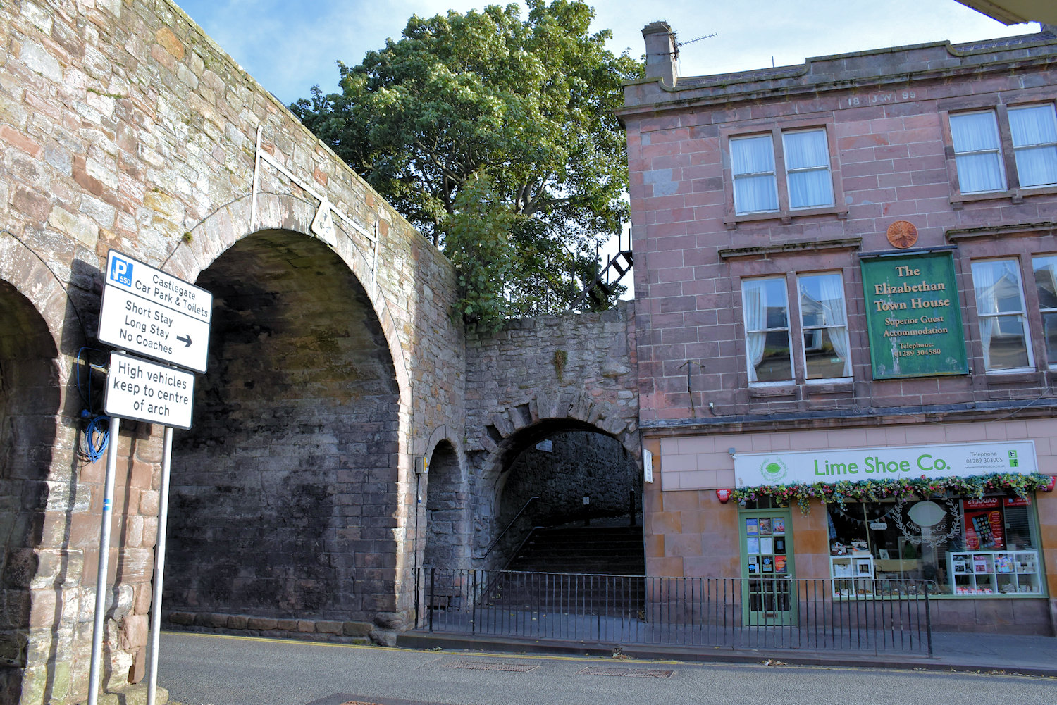
And to finish off, another gate, the Cowport Gate.