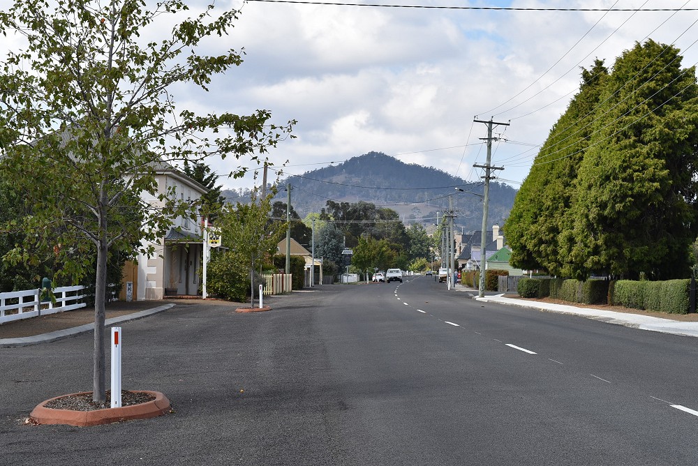
Kempton, formerly known as Green Ponds, was a coaching town, and the highway ran through the middle.
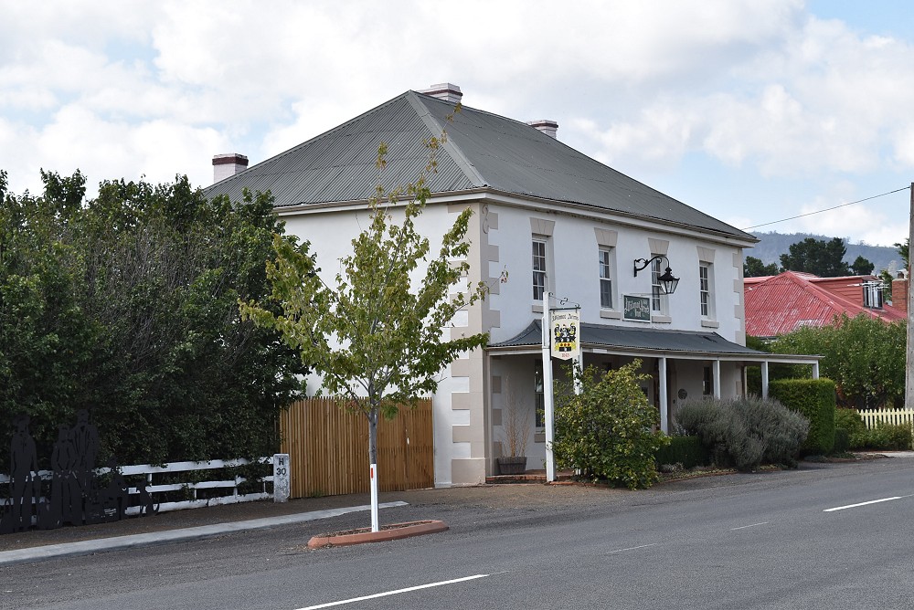
The Wilmot Arms was originally a licensed inn. To the left, you can see some people waiting for a coach.
Towns. Photos. Photos of towns.
The buildings on this site were constructed built as the barracks and support buildings for the construction of a dam in the 1840s using probationary labour, with the intention of providing irrigation for farms in the Midlands, but was abandoned a few years later due to economic and political factors. The site consists of a partially completed dam, an abandoned sandstone quarry and the nearby settlement that housed the workers. The original post on Live Journal was in three parts, the earliers parts providing more background information (and photos of the road in) and photos of the abandoned dam site
Among the trees are the remains of paths, boundary walls and chimneys.
Campbell Town is on the Midlands Hwy.

“Campbell Town, and the Elizabeth River, which runs through it (previously known as Relief Creek), was named by Macquarie after his wife, Elizabeth Campbell.”
If you’re heading south, it’s the last town on the actual highway until you’re almost in Hobart. And if you’re heading north, it’s the first town after a long drive with no towns along the highway. So it’s a popular stopping place. It’s about 132 km from Hobart and 41 miles from Launceston.


